RockyMountainSummits.com Home  |  My Peak List  |  Message Board  |  Contact Me  |  View the Guestbook  |  Sign the Guestbook


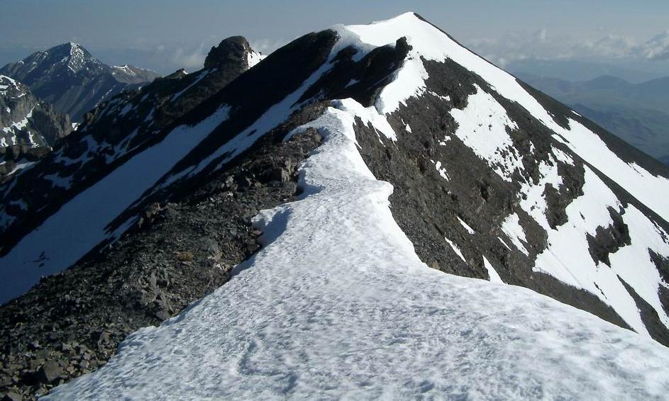
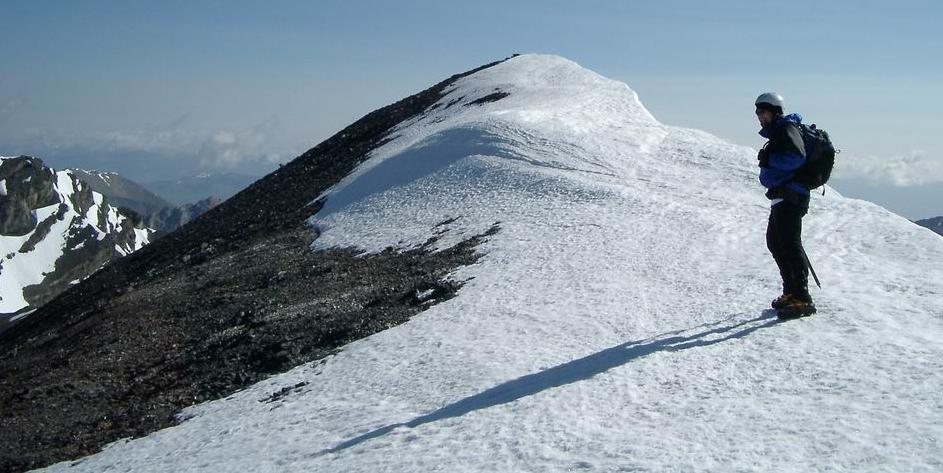
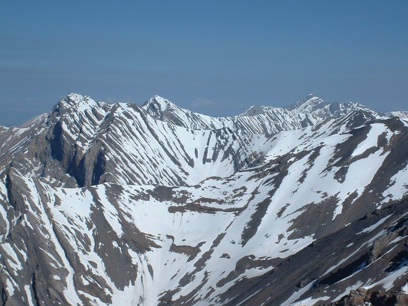
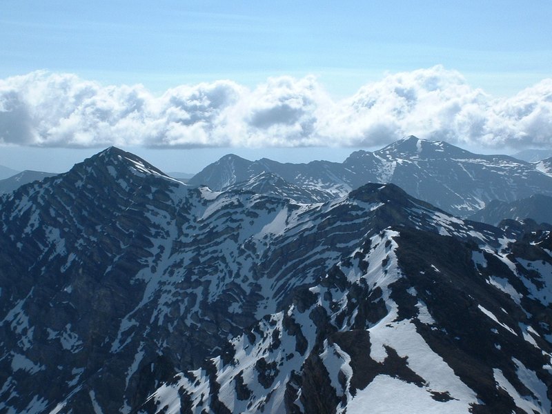
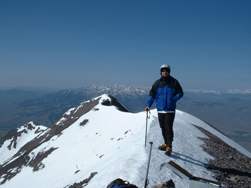
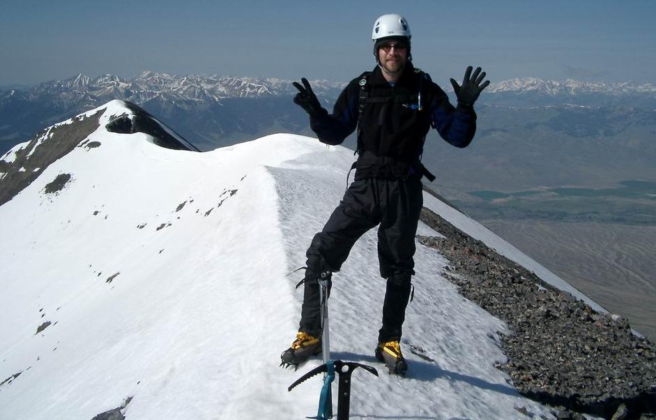
Lost River Mountain - 12,078 Feet (Idaho's 6th Highest)


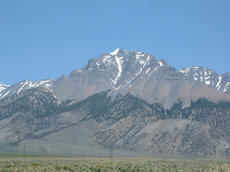
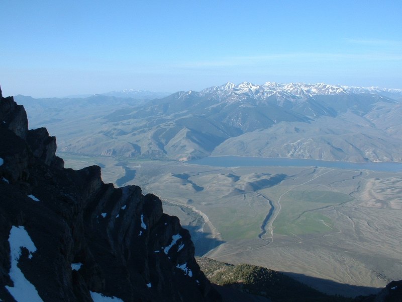
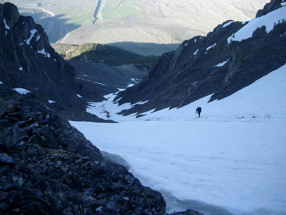
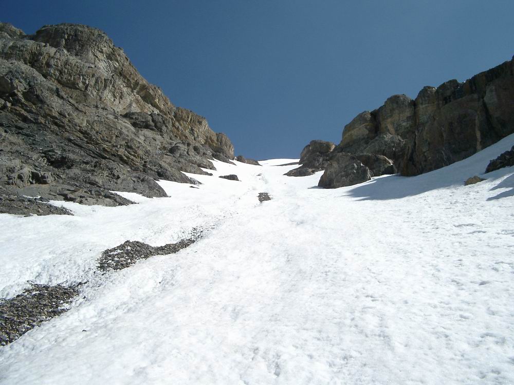
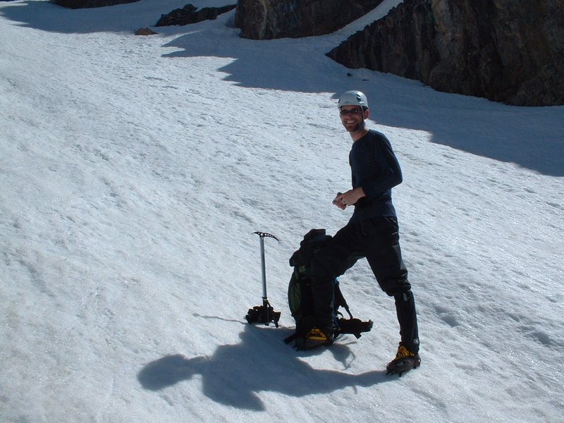
Lost River Mountain from the valley. We used the snow-filled gully in the middle of the peak to ascend.

Trip Report (6/1/2003):
In a tune up for Mount Hood, Jim Just and I tackled Lost River Mountain near Mackay, Idaho.

We knew the route would be snow covered and brought crampons and axes for safe climbing.

Starting at 4 AM to ensure solid snow and minimize rockfall danger, we headed out with headlamps. We climbed hard up tree-covered slopes in the cool night air. I was not feeling well after a breakfast of Cookie Crisp cereal (the milk?). Anyway, after about 2 hours, we reached the enterance to the super gully.

Soon after entering the gully the snow started, so we stopped to break and put on crampons. The climbing started out easy and I was starting to feel a little better. Jim was doing awesome and pulling ahead of me. As we moved up, the gully got steeper and steeper. In several areas we passed avalanche, rockfall remnants, and scree that laid on top of the snow for several hundred feet at a time.

Once out of the gully, we climbed up some horrible scree to a saddle. From the saddle, we gained a couple hundred feet quickly to the summit ridge. This point appears to the unknowing to be the summit, but once up there, you realize the summit is a 1/4 of a mile away.

We scrambled toward the true summit on a narrow ridge. A few times, we thought our day was over, but kept solving problems, and finally finished off the last 1/8th of a mile on firm snow.

The summit views were awesome. Clear skies and snowy peaks in all directions. Not sure I'd want to do this peak at any other time because of the potential scree slog in offers later in the summer! Enjoyable day in the mountains. Turned out Jim and I made great partners and have a lot of things in common.

Trip stats:
Time: 9 hours (5.5 up, 3.5 down)
Length: 5 miles
Elevation Gain: 4500 feet
Class (difficulty): 4

Directions:
To get the trailhead turn east off Highway 93 at milepost 115 onto Upper Creek Road. This road is well marked with a sign. Turn east on Upper Cedar Creek road off of Highway 93 exactly at milepost 115. Drive 3.1 miles east and right after crossing a canal, turn left and head northwest next to the canal. There was about a foot of water in the canal, so although a passenger car might make it, I would recommend a high clearance vehicle. In addition, the going from here remained a bit rough. After .1 mile (1/10th) next to the canal, turn right and drive .9 mile (9/10ths) to the trailhead.

Route:
We climbed via the "Super Gully" on the peaks southwest side. To attain the gully, follow the tree-covered ridge up to the base of the gully. Once out of the gully, we climbed up scree slopes to the highpoint point visible from the highway. From here, we followed the narrow ridge northeast to the summit.

Ice axes and crampons were a must in the gully that had snow, with an angle of probably 45 to 50 degrees in the steepest spots. The snow was hard and stable when we did it, be sure you understand that the gully is a obvious area for avalanches and rock fall (we saw remnants of both).

Pictures: Click on the pictures below to see the full-size version.
Mackay Reservoir from the gully.
Me climbing in the gully.
Me climbing on scree once we came out of the gully.
 
Scrambling up to the highpoint visible from the trailhead and highway.
The summit ridge.
Me nearing the summit.
 
The Lost River range, Borah Peak is in highpoint in the upper right.
The view to the southeast.
Me on the summit.
 
Jim holding up 7 fingers (his 7th of 9 12ers).
Looking up the gully on the way down.
Jim taking photos in the gully on the way down.


Please send comments, suggestions, and questions to dan@idahosummits.com.
© 2001 All Rights Reserved RockyMountainSummits.com