RockyMountainSummits.com Home  |  My Peak List  |  Message Board  |  Contact Me  |  View the Guestbook  |  Sign the Guestbook


Wyoming Winter 2009 Trip

For years I had been contemplating a trip to Wyoming during the winter to climb some peaks. I had done very limited research and knew of a few peaks that could be safely done. At some point I decided this was the winter to try and pull it off. I mentioned it to Zach and he was interested. After deciding on a weekend to do it, I began researching and found several peak options that were reasonable elevation gains and not too avalanche risky or too technical.

The first peak I decided on was Brooks Mountain (aka Mount Sublette) near Togwotee Pass, which is about 50 miles from Jackson, WY. After doing Brooks, our plan was to hit Signal Mountain, which was a much shorter summit near Moran Junction and Jackson Lake. The next day our plan was for Mount Glory, which was a popular ski destination for locals.

Some how, some way the weather was predicted to be perfect on the weekend we chose for the trip. We headed off to Jackson on a Friday afteroon on perfect roads.


Day 1 - Drive to Togwotee Pass


After checking into our room late in Jackson, we decided to hit the pillows and agreed on an early rise to catch the morning sun on the Tetons en route to Togwotee Pass. Our 6am wake up was a bit early, as we waited in a parking lot for nearly 45 minutes for the sun to come up. After snapping some shots of Grand Teton and Mount Moran in neat, but less than stellar light, we decided to head down the road. In no longer than 10 minutes, we could see the peaks lighting up in the sun behind us. We stopped and captured the incredible view! Note the pictures on the right.

Photos

The Tetons in the dawn light.
Mount Moran at dawn.
   
First rays of light on Grand Teton.
Morning sun on Mount Moran.


Brooks Mountain - 11060'


It was light for the rest of our trip to Togwotee Pass. The road was a bit 
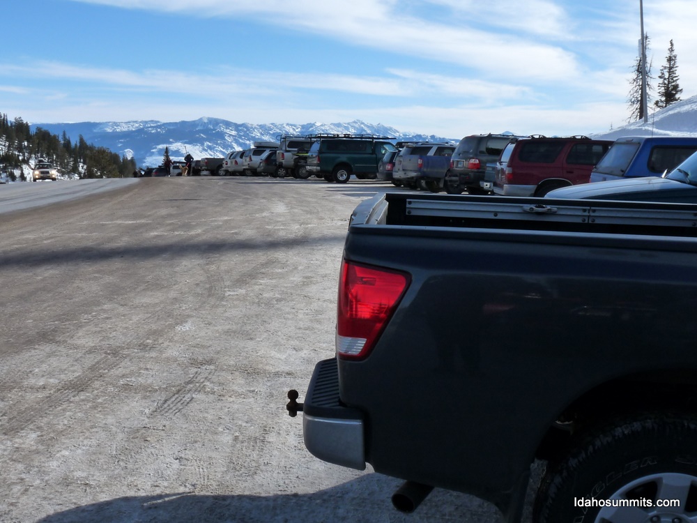
rough, but we made it easily. We found our trailhead, just as the trip reports 
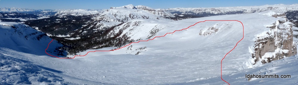
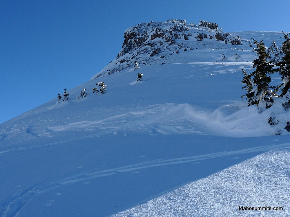
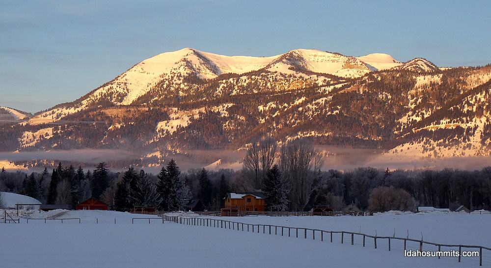
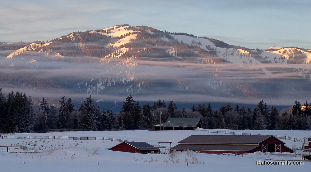
had stated... a plow out 1 mile below Togwotee Pass. Brooks Mountain sits at 
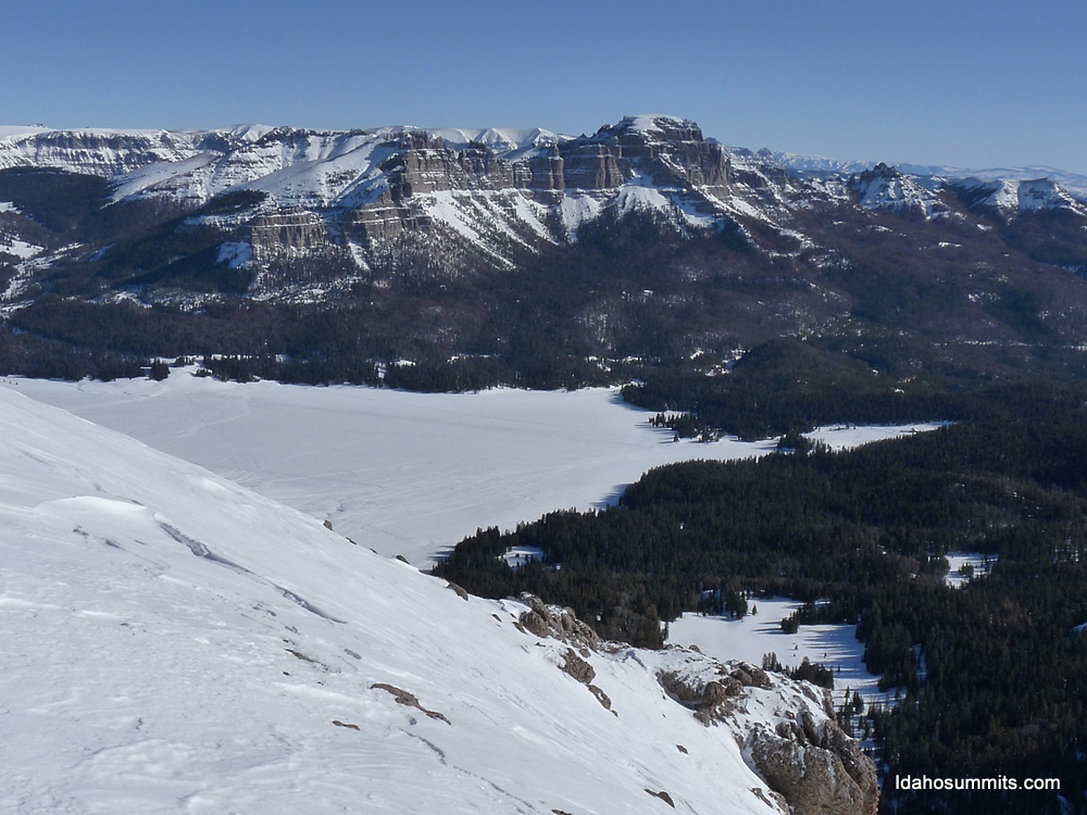
11060'. It is the highpoint of a mountain the forms a horshoe around a gorgeous basin just north of Togwotee Pass. Our route was to follow the creek that drained that basin (staying above the creek bottom), then cut across the basin above the treeline, then get on a ridge at 10700' and follow it to the summit.

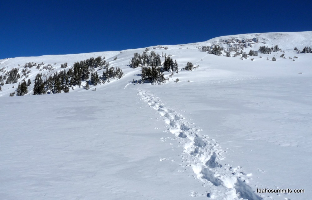
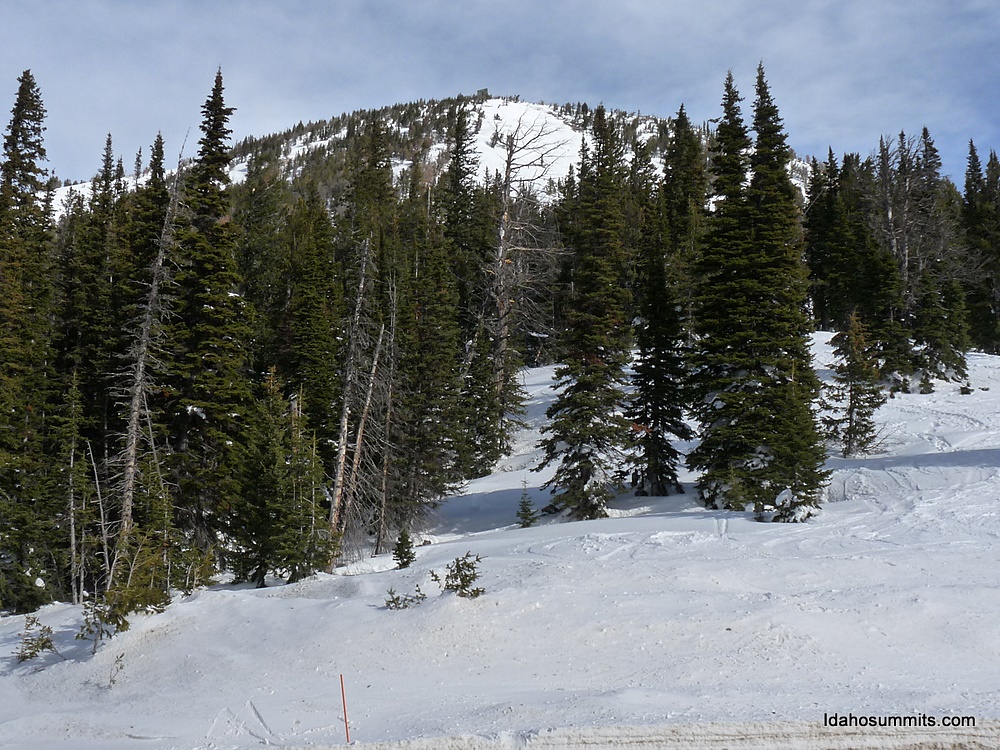
We headed into the trees hoping to find a trail into the basin. At first we followed snowmobile tracks. They were paralleling the road, but not really heading where we wanted. When we were about to start breaking trail, a perfect trail emerged. This trail was well beaten in and led us through the trees and to the entrance to the basin. We now had an issue. First off, the trail had stopped. Not a big problem. The big problem was that we needed to cross one small section of a gully to get to smooth sailing into the upper reaches of the 
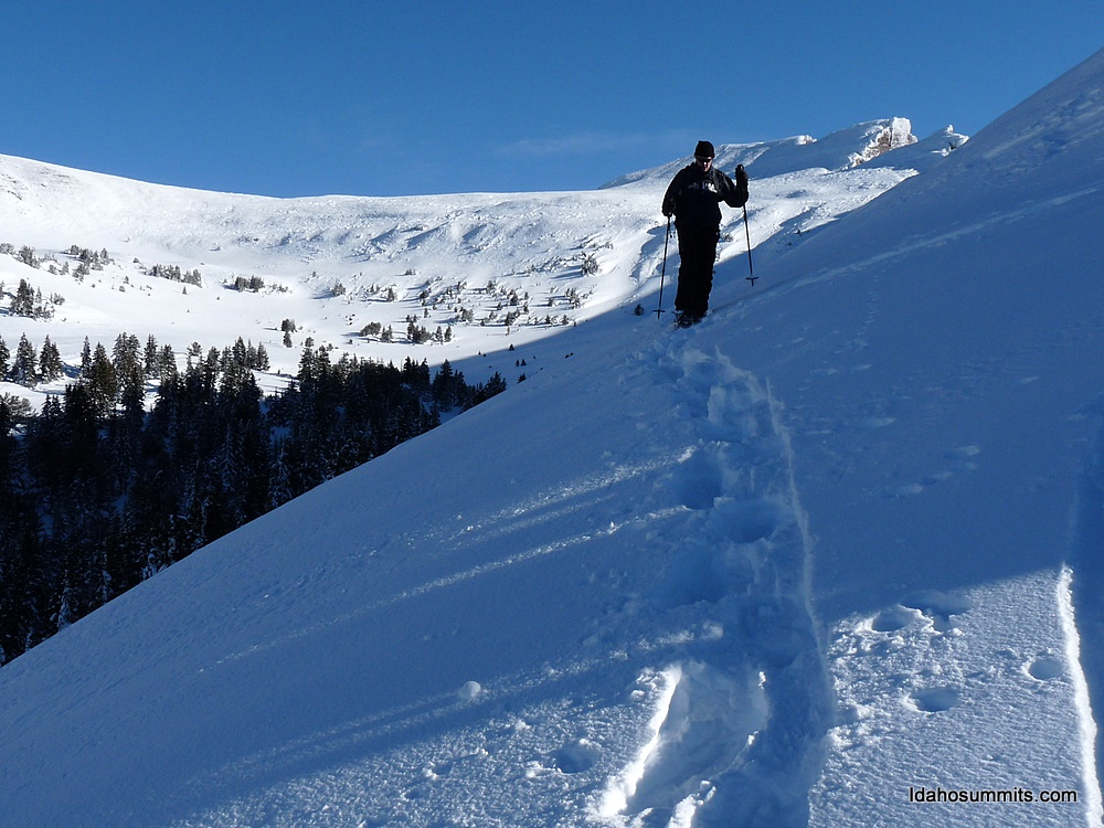
basin. We evaluated the slope and found an area where a drift crossed the gully. We cautiously crossed the gully here, using the drift to keep our angle level. We also felt the drift lessened the chance of a slide as well.

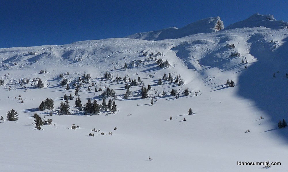
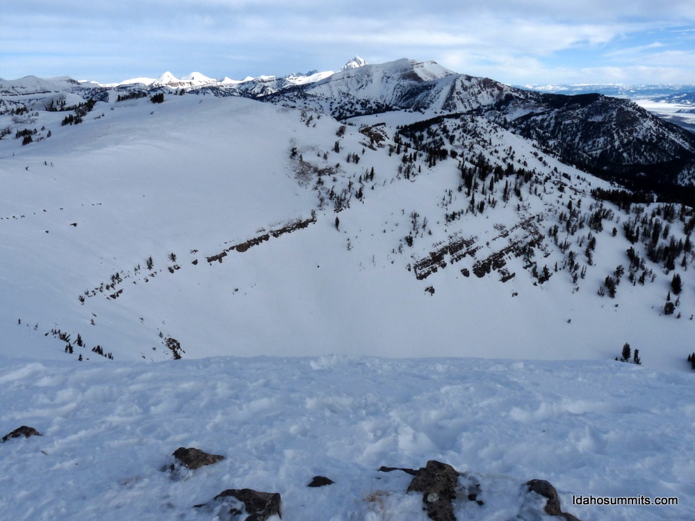
After crossing the gully, about 1/2 a mile of side hilling placed us in the 
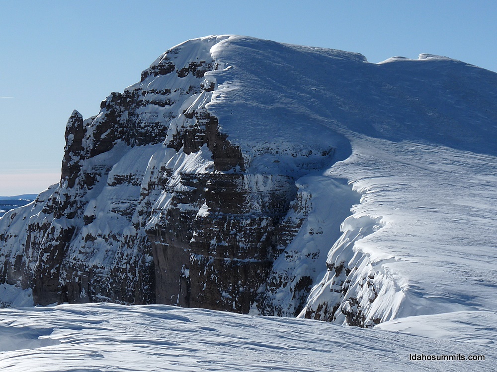
basin at around 10400'. We could easily see the summit from here. Both of us were discouraged as it seemed very steep near the top, and like it was wind loaded with snow. Instead of quiting, we continued on great snow in gorgeous 
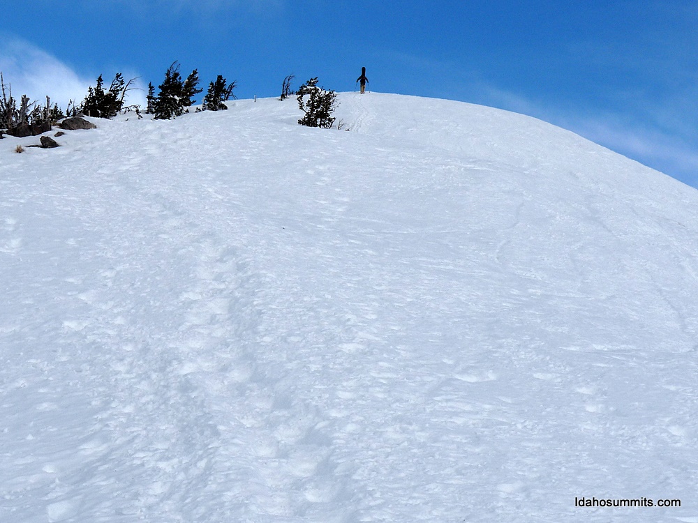
terrain to the ridge at 10700'. Here what had been good snowshoeing snow got great. We cruised to 10900' which put us near the summit. From 1/2 a mile a way it still looked discouraging and STEEP. However we plugged on and got right below the face. What had looked steep from below wasn't too bad. What looked like avalanche hazard was actually drifted snow and ice that was rock hard. We decided to go for it. 5 minutes later, with no real obstacles at all, we were standing on top!

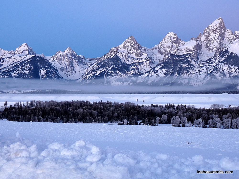
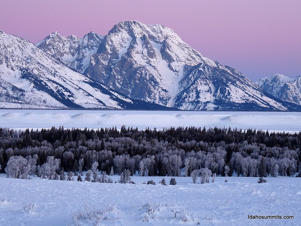
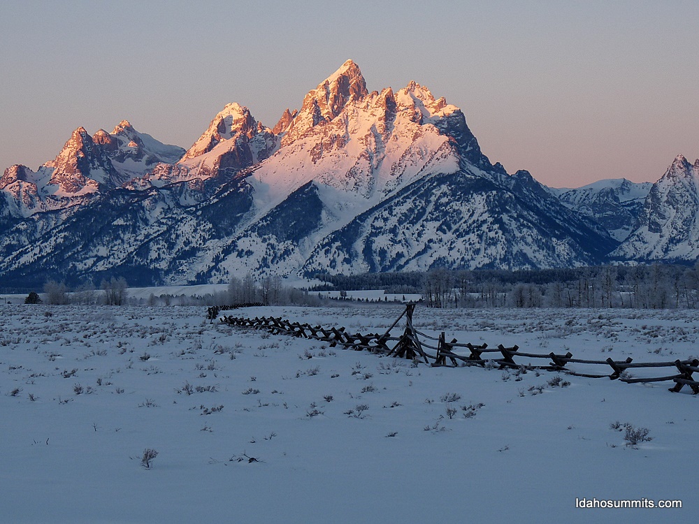
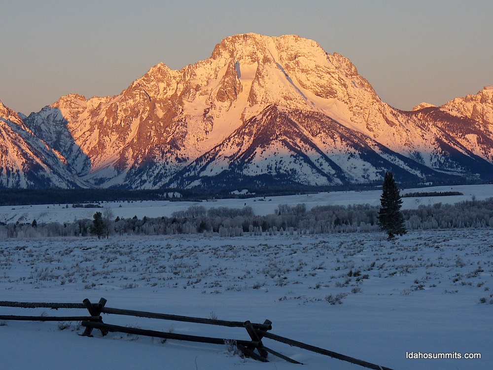
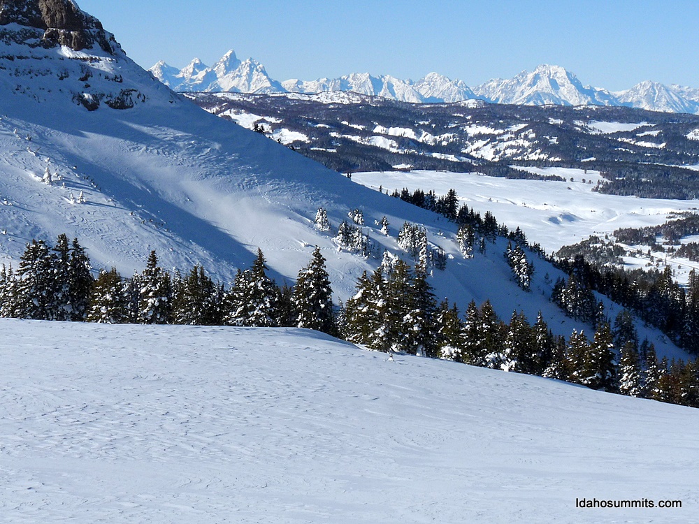
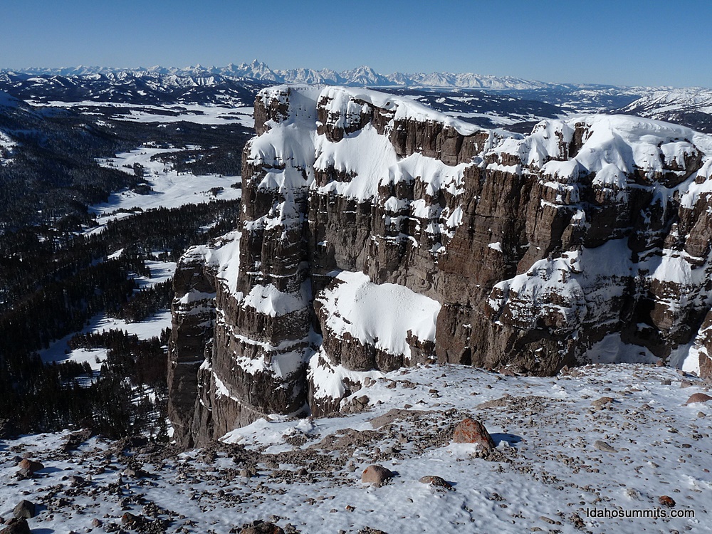
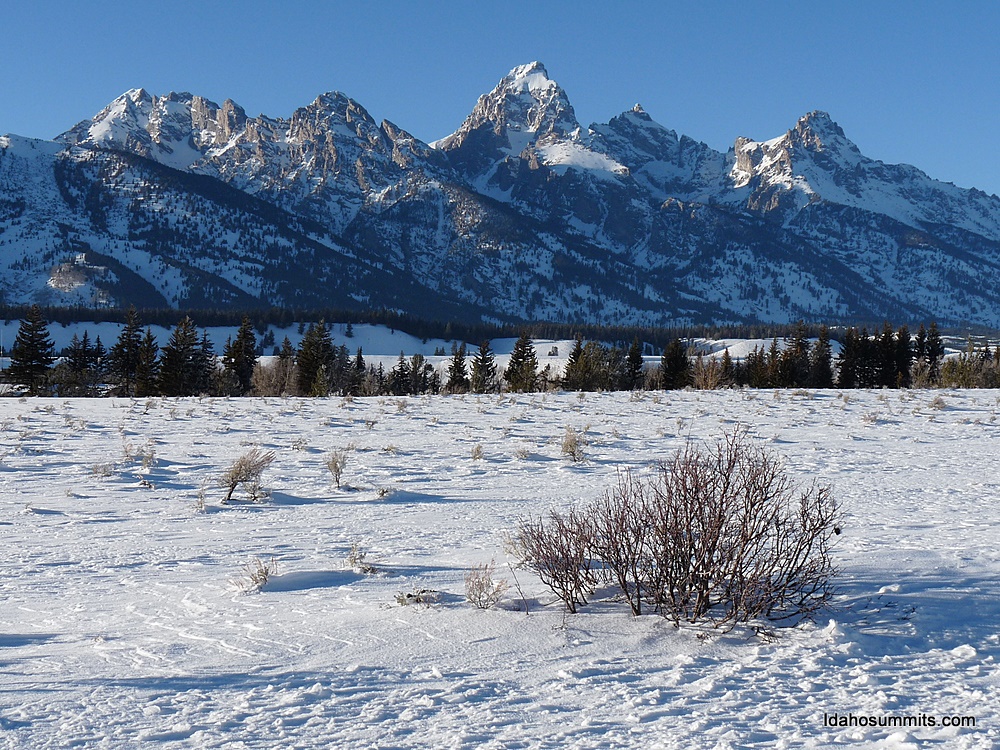
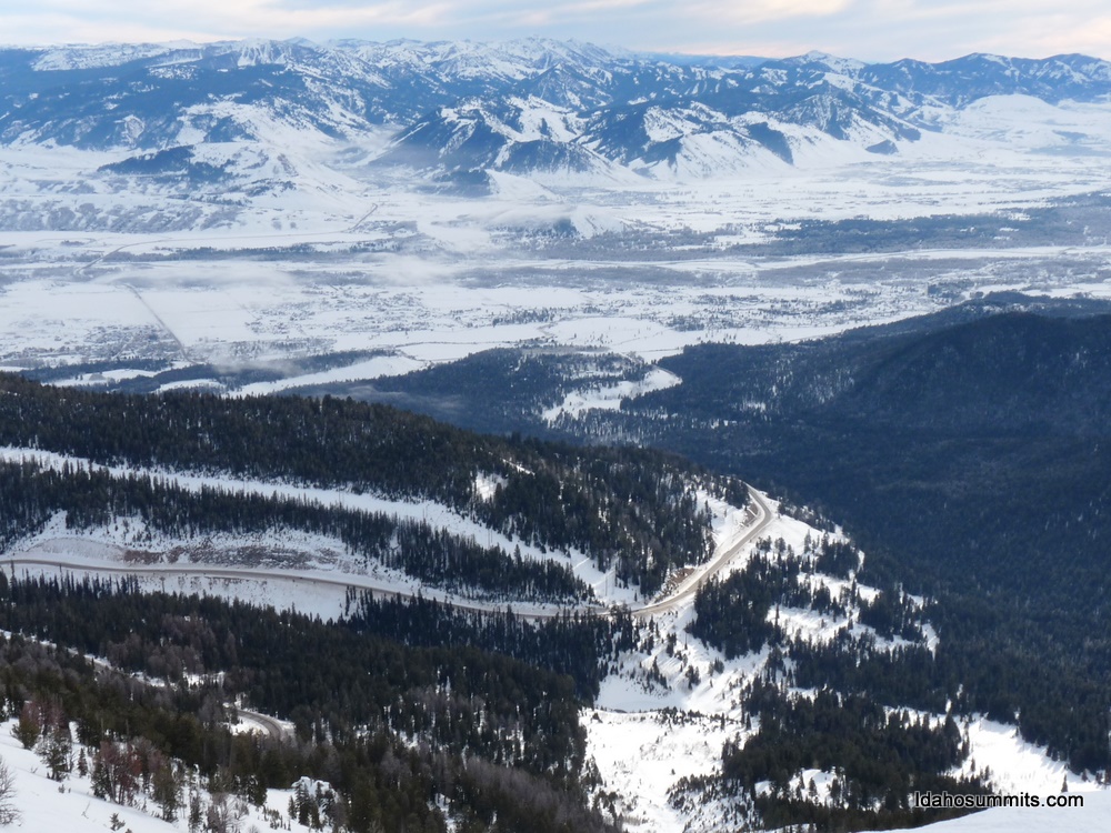
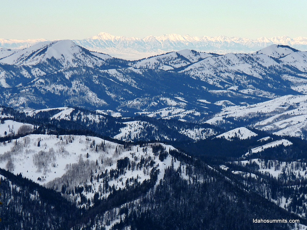
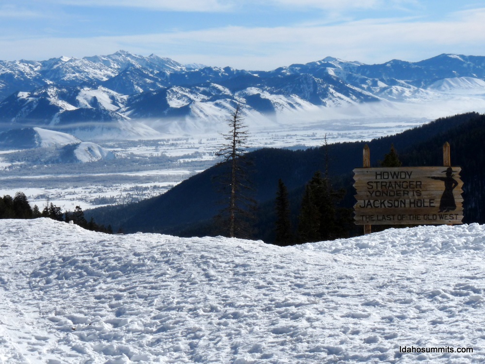
The summit was impressive. All sides except the one we came up dropped off 2000' to the surrounding basins. The Tetons were clearly visible, as were several other ranges. The sun was shining brightly and other than a light wind, the day was perfect. This peak and route were among the finest I have ever done. Highly recommended!

We utilized the same route down. The way down went quick and we were back at the car. Instead of going to bag Signal Mountain, we decided to call it a day and head back to Jackson.


Time: 5 hrs and 50 mins
Distance: 5.1 miles
Elevation gain: 2000'
Class (difficulty): 2

Photos

Looking back at our route into the basin.
Brooks Mountain from about 10850'.
   
Brooks Lake to our north.
The Tetons from the summit.
   
The view of the basin we traversed through.
Our tracks from about 10300' to 10700'.
The summit from the basin.
Zach with the summit behind him.
The start of Brook's ridge and end of our packed trail.


Day 1 - Drive to Jackson from Togwotee


On our way back to Jackson, we saw several moose, buffalo, and were amazed by the number of elk at the National Elk Refuge. Oh yeah, and the Tetons in the sparkling blue skies were not bad to look at either! Check out the photos taken during our drive back from Togwotee Pass on the right.

Photos

A group of buffalo near the road.
Some large bull elk in the National Elk Refuge.
   
The Tetons in the late afteroon.


Day 2 - Mount Glory 10086'


Day 2 started out quite brisk. We fueled up, checked out of the hotel, and headed to do Mount Glory. We weren't sure what to expect on Mount Glory, but knew that there would probably be lots of people and cars at the trailhead, and a boot track to the top.

The parking lot was packed when we arrived at 9am. We parked and headed up the boot track, which was firmly in place. Unlike most people on the mountain, we were not toting skis or a snowboard. We did have our snowshoes in our pack. It might not be the fastest way down, but that was our plan.

I was shocked by how steep the route was. It went straight up the mountain with no switchbacks and just a few flat spots where you could catch your breath! By the end of 1 hour, we had gained 1300 feet. After 75 minutes, we were on the summit. The summit had great views of Jackson and to the west into Wyoming. To the north we could see the Grand sticking up. Views east reminded us of Idaho, as we could make out Big Southern Butte and the Lemhis (including individual peaks like Diamond and Bell). We hung out for 30 minutes before descending.

Not wanting to wreck the boot path, we stayed away from the trail on the way down. We lost count of the people heading up, all I can say is WOW, what a popular destination that peak is. We continued down, arriving at the base in 2:25 minutes round trip (including the time on the summit). What a quick and enjoyable trip.


Time: 2 hrs and 25 mins
Distance: 2 miles
Elevation gain: 1750'
Class (difficulty): 2

Photos

Mount Glory from the east.
Neat fog formation on a peak near Mount Glory.
   
Mount Glory from Teton Pass.
The summit of Mount Glory.
   
Jackson Hole from near the summit.
Teton Pass far below from near the summit.
   
The Lemhis in Idaho from the summit.
The Tetons to the north (see the Grand?).
   
Shelter on top of Mount Glory.
Lots of vehicles in the Teton Pass parking lot.
   
Sign near Teton Pass.


Please send comments, suggestions, and questions to idahosummits@yahoo.com.
? 2005 All Rights Reserved RockyMountainSummits.com