RockyMountainSummits.com Home  |  My Peak List  |  Message Board  |  Contact Me  |  View the Guestbook  |  Sign the Guestbook


Winter/Spring 2003 Trips


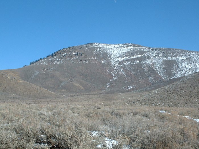
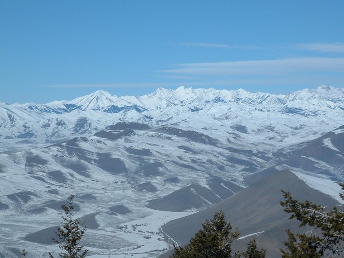
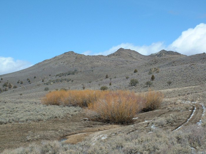
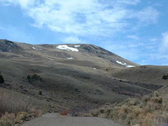
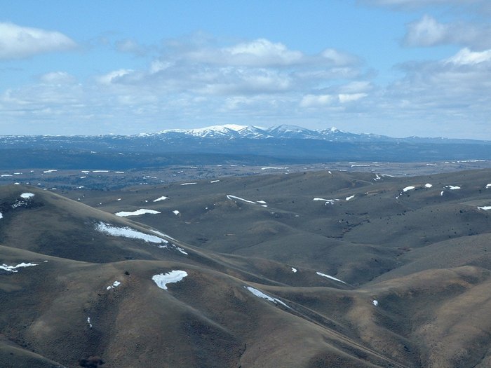
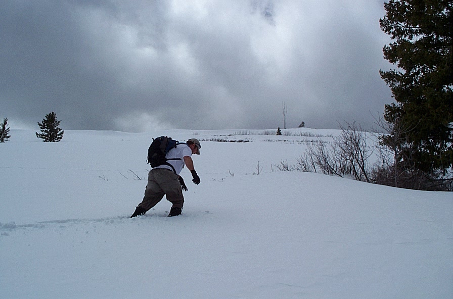
Wood Creek Mountain    Pine Mountain    Rough Mountain    Bell Mountain    Family Outing   

Wood Creek Mountain - 6389 feet


Trip Report (1/25/2003):
Zach and I snowshoed Wood Creek Mountain on a fairly mild January day. The snow down low was rotten from days of rain and warm temps. Up higher, it would support our weight and the going was easy.

The weather was fickle, as fog streamed in and out, then blew in to stay on the summit... just after we snapped photos. Although an eerie sight, it was good training to work our way down in a white-out.

Trip stats:
Time: 5 hours
Length: 10 miles
Elevation Gain: 1600 feet
Class (difficulty): 2

Directions:
From Mountain Home, drive 26 miles on US-20. Turn left onto Wood Creek road (paved) heading towards Pine. After about 3.5 miles, look for a sign at the head of a old road stating that the road if for "Administrative Use Only". Park here.

Route:
Follow the road over a divide and drop down into the valley below. From here, you can just aim for the ridge with a jeep track running up it towards the summit of Wood Creek Mountain, or follow the road you are on until it meets up with the jeep trail. Just follow the road to a summit between the highpoint and the Cat BM. We went over and checked out the location of the Cat BM, then returned to the saddle and went and climbed the true highpoint. The true highpoint has better views of the Soldier Mountains and Camas Prairie.

Pictures: Click on the pictures below to see the full-size version.
The summit of Wood Creek Mountain.
Zach heading down after the fog hits.

Pine Mountain - 7332 feet


Trip Report (2/9/2003):
With January and the start of February being quite warm, Zach and I decided to attempt Pine Mountain near Carey, Idaho. Despite it being mid-winter, temps were high, and we hardly touched snow to reach the apex of this peak. The views of the Pioneer range from its summit are worthy.

Trip stats:
Time: 4 hours
Length: 4 miles
Elevation Gain: 2100 feet
Class (difficulty): 2

Directions:
From Carey, head east on US-20/26 to the turnoff to Fish Creek Reservoir. Turn north onto that road and drive until you are directly west of Timber Butte Spring.

Route:
Follow the jeep road to the base of the peak and then pick any of the easy terrain to follow to the summit.

Pictures: Click on the pictures below to see the full-size version.
Pine Mountain.
The Pioneer range from atop Pine Mountain.

Rough Mountain - 7090 feet and Bald Mountain 6719 feet


Trip Report (3/23/2003):
I hiked to the summits of Rough and Bald Mountains in cool, but sunny conditions. Neither peak had much snow or difficulties.

Trip stats:
Time: 5 hours
Length: 8 miles
Elevation Gain: 1500 feet
Class (difficulty): 2

Directions and Route:
I got on the Mud Flat road just past Grandview, Idaho. The road starts out plowed, then turns to excellent gravel. Follow the road to the Summit Flat area. Here, I followed old roads and did some cross-country to get to Rough. For Bald, just follow the road that goes to its south summit, then hike to the top of it via open ridges.

Pictures: Click on the pictures below to see the full-size version.
Rough Mountain.
Bald Mountain.
South Mountain from the summit of Rough Mountain.

Bell Mountain - 7998 feet


Trip Report (4/27/2003):
On the exact same weekend last year, Zach and I did Lookout Mountain of the same general area/elevation as Bell Mountain. This year, however, there was a lot more snow. What looked to be a easy stroll, turned into a battle through waste deep snow. Summit views didn't exactly thrill either.

Trip stats:
Time: 5 hours
Length: 5 miles
Elevation Gain: 1900 feet
Class (difficulty): 2

Directions:
Drive to Bellevue, Idaho. Turn east on Seaman's Gulch Road. Drive through the ranch entrance a few miles until you see the signed turnoff for Bell Mountain on your right.

Route:
Snowshoe the snowbound road in the winter, hike or drive it to the top in the summer.

Pictures: Click on the pictures below to see the full-size version.
Me slogging my way to the top of Bell Mountain :-(

Family outing


Trip Report (5/24 and 5/25):
My wife, daughter, and myself backpacked at the Gooding City of Rocks:


Then checked out the Camas Lillies:


Before noticing this epic site on our way back to Boise. Note that these are purple flowers, not a lake:


Please send comments, suggestions, and questions to dan@idahosummits.com.
© 2001 All Rights Reserved RockyMountainSummits.com