RockyMountainSummits.com Home  |  My Peak List  |  Message Board  |  Contact Me  |  View the Guestbook  |  Sign the Guestbook


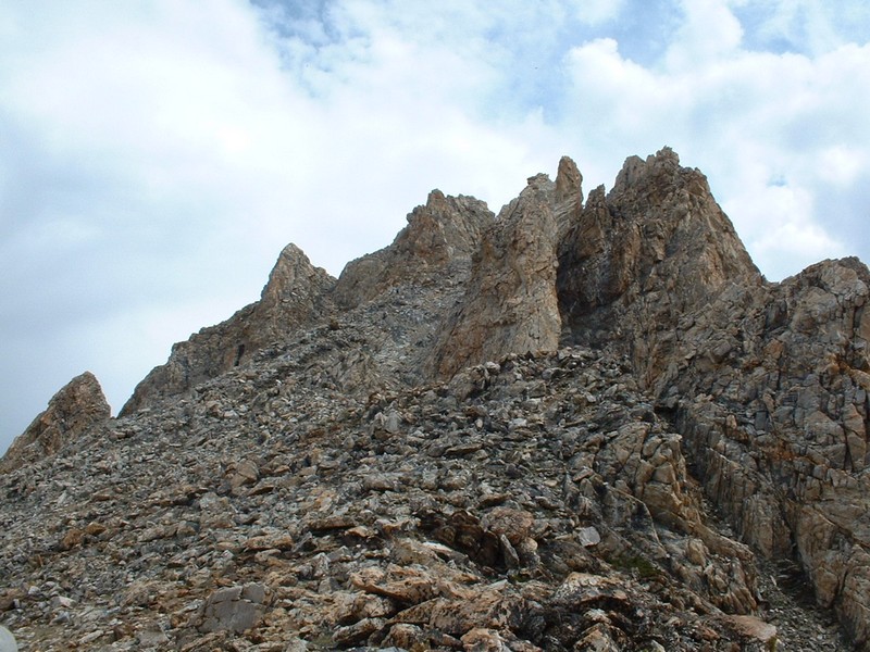
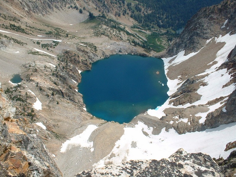
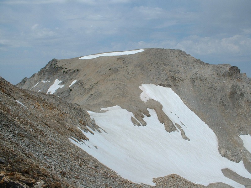
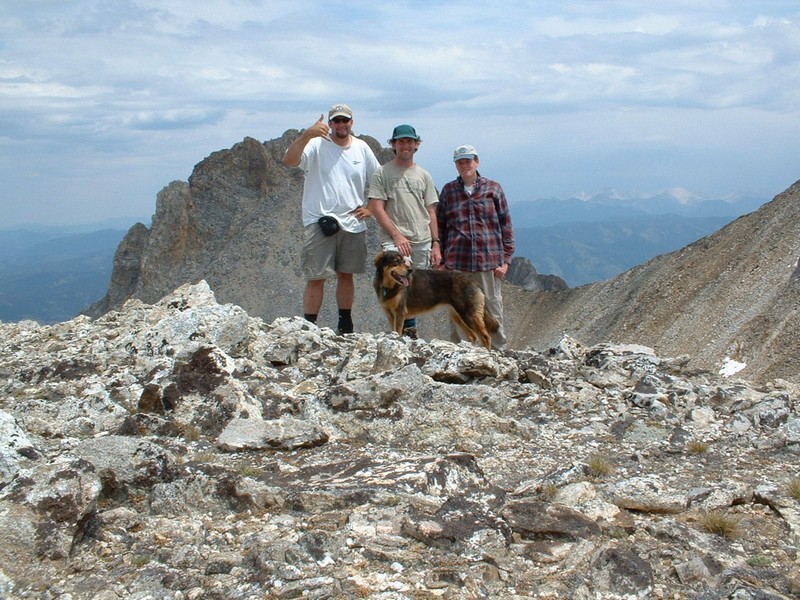
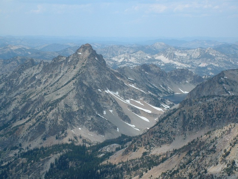
Thompson Peak 10,751 Feet (Highest Peak in the Sawtooths)


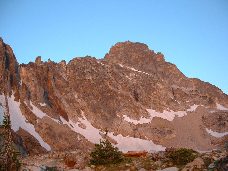
Thompson Peak from our camping spot during the early morning.

Trip Report (7/19/2003):
This was a farewell trip for Zach, who is leaving to attend college at the University of Florida. Also included were Todd and Sandy (dog). Essentially the Castle Peak crew...

Turned out to be an excellent trip, much less technical than I had envisioned. The beauty of the lake we stayed at, along with the views of the valley and Thompson from our camp at that lake are unrivaled. We threw Mount Carter in for the heck of it, which was a bonus, as it arguably has better views from its summit than Thompson did.

Trip stats:
Times:
Backpack in: Approx. 3 hours (5 miles)
Lake to Thompson: Approx. 2 hours (2 miles)
Thompson to Carter: Approx. 30 minutes (1 mile)
Carter to Camp: Approx. 1.5 hours (2.5 miles)
Backpack out: Approx. 2 hours (5 miles)
Class (difficulty): 3 (Just one short, easy section of 3)

Directions:
Drive north from Ketchum on Highway 75 for 55 miles to Redfish Lake Road. Turn left and drive 1.5 miles to the intersection for the Redfish Lodge turnoff. Continue straight ahead for a couple hundred yards and make a right turn into the backpackers parking lot.

Route:
From the lot, follow the Fishhook Creek trail for .8 miles to a signed junction. Turn north here, and climb to the ridge top on a switchbacked trail that weaves through aspens. Once atop the ridge, you reach another signed junction. Turn west and begin hiking towards the base of Williams Peak. After a mile or so, you pass the Wilderness Boundary sign. Continue west. Once you are at the base of Williams, the trail you are following splits right, you can either head up steep slopes to Williams, or veer left. Veer left on a decent climber's trail. Follow this trail as it winds its way on the fringes of Williams Peak. Once you reach an area of trees and small ponds, the trail fades and you must finish the last half a mile on easy cross country terrain. Camp at the 9000 foot large lake, or at a smaller lake just below the Williams/Thompson saddle.

From the lake, the route to Thompson is to make your way cross-country up to the Thompson/Williams saddle. From there, traverse snow and boulder fields completely around Thompson to its south ridge. Follow a climber's trail up a large gully to the summit.

To do Mount Carter, simply cut across Mickey's Spire (southwest of Thompson) to a saddle and walk up the wide, open east slopes of the peak.

Pictures: Click on the pictures below to see the full-size version.
Camp... great view of Redfish Lake & the White Clouds.
Thompson Peak from the outlet near camp.
Williams Peak from camp.
 
Zach on snow heading for Thompson Peak.
Nearing the summit of Thompson Peak.
The lake we stayed at from Thompson's summit.
 
Mount Carter from the Thompson/Mickeys Spire saddle.
The summit team on Carter.
Warbonnet Peak and the Verita Ridge from Carter.
 
Mount Regan from Mount Carter.
Glissade route off of Mount Carter, I made the left most track.
Almost back to the lake.


Please send comments, suggestions, and questions to dan@idahosummits.com.
© 2001 All Rights Reserved RockyMountainSummits.com