RockyMountainSummits.com Home  |  My Peak List  |  Message Board  |  Contact Me  |  View the Guestbook  |  Sign the Guestbook


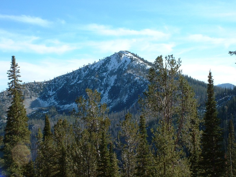
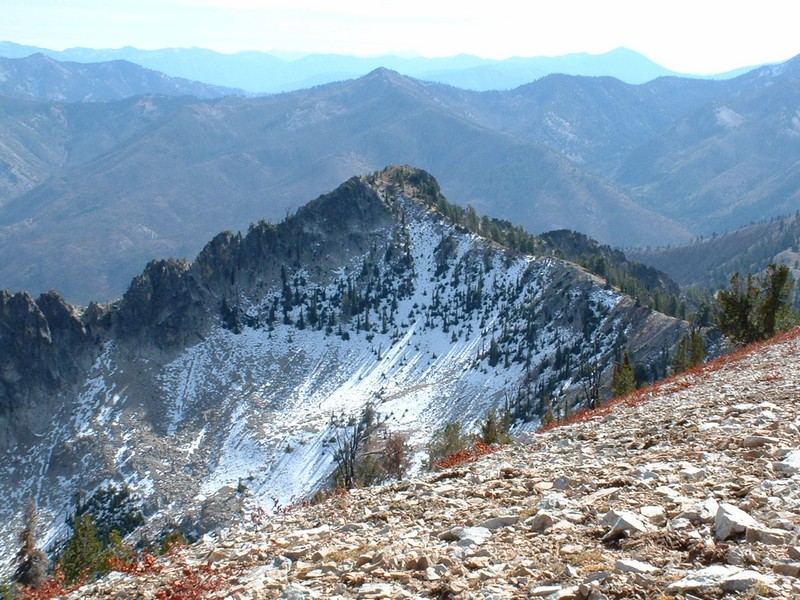
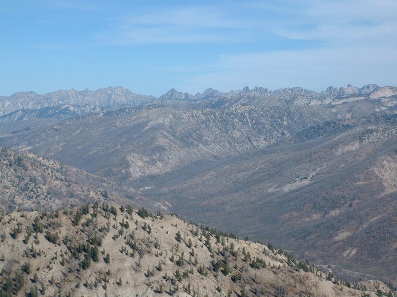
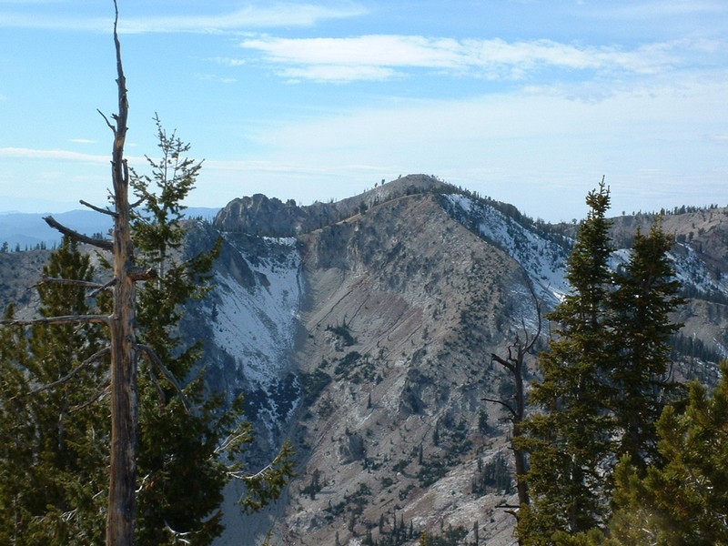
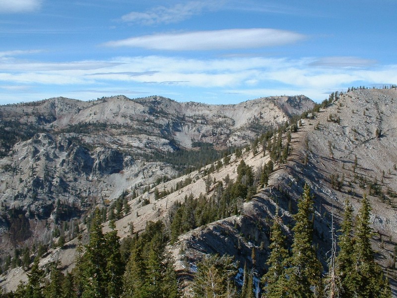
Shephard Peak and Silver Mountain

Click on the pictures below to see the full-size version.
Shephard Peak
Silver Mountain

Trip Report (10/19/2003):

This was a fun cross-country hike in a neat area that has stellar views of the Sawtooths from the west side of the range (a rarity for me). While not earth shattering, the hike was enjoyable and would makes for an easy trip if you are short on time or energy. Let it be known that the drive from Boise is only about 2 hours, but you will feel beat after completing it.

Trip stats:
Time: 3 hours
Length: 5 miles
Elevation Gain: 2100 feet (cumulative)
Class (difficulty): 2

Drive:

Drive north of Mores Creek Summit on Idaho 21 and turn east onto FS 384 (Crooked River Road). Follow dirt and well signed road for 4 miles and take a left onto FS 312. This road is ot quite as nice, but the going is okay. Follow this road along the Pikes Fork drainage. Eventually it climbs out of that drainage to a high ridge with views of Jackson Peak to the north. After the turnoff to Jackson Peak, the road plunges into Trapper Flats. This section is steep and the road rugged. You must have a 4x4 with high clearance. Several vehicles have been stranded back here because they could not get out after rain or snow fell on that steep portion.

Follow the road through Trapper Flat and you again climb up to a high ridge with great views of Wolf Mountain to the west. At the end of this ridge (at 22.8 miles from Idaho 21) -- just before the road starts descending into another drainage -- stop at a saddle with a decent amount of parking on the left hand side of the road.

Route:

From the saddle, I traversed southwesterly to a visible saddle at the northern base of Shephard Peak. Stay between 8050 feet and 8100 feet for the easiest terrain. One section of small firs in an avalanche chute is about the only annoying piece of the hike to the saddle.

From the saddle, climb south on moderate slopes to the summit of Shephard. If continuing to Silver Mountain, simply follow the ridge west, then south and ascend Silver Mountain via its class 2 northern ridge.

Pictures: Click on the pictures below to see the full-size version.
The Sawtooth Range from Shephard Peak.
The Goat Mountain area from Silver Mountain.
The view north from Silver. You can see the ridge coming in from Shephard used to ascend Silver Mt.


Please send comments, suggestions, and questions to dan@idahosummits.com.
© 2001 All Rights Reserved RockyMountainSummits.com