RockyMountainSummits.com Home  |  My Peak List  |  Message Board  |  Contact Me  |  View the Guestbook  |  Sign the Guestbook


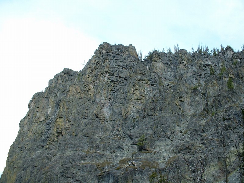
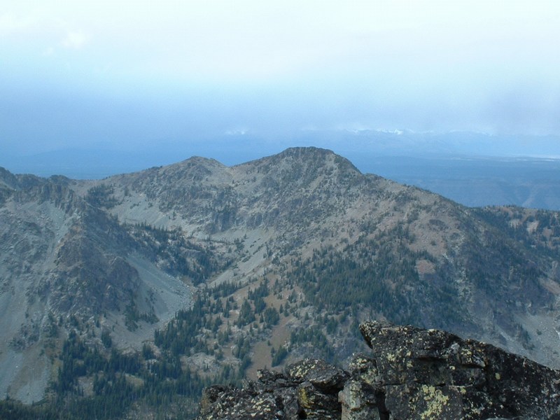
Monument Peak - 8957 Feet


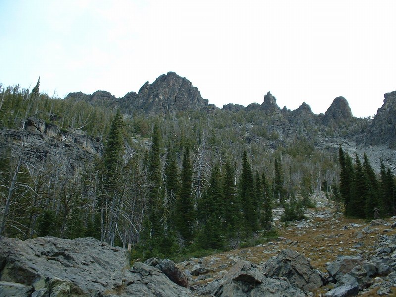
Monument Peak from the basin about 1000 feet below the summit.

Trip Report (9/17/2004):

With two more county highpoints left and poor weather in the forecast, I took a Friday off and made plans to tackle Monument Peak, highpoint of Adams County. Being somewhat remote, I posted on a couple of web sites for a partner. Randy of Boise responded and accompanied me on the trip.

After a long drive to Black Lake, we took FST-214 up and over Purgatory Saddle and down to Emerald Lake. Emerald Lake is a beautiful lake, with a lot of fish rising in its waters. After a break at Emerald Lake, we continued north on the trail for about 1 mile to where the creek comes in from the east at around 6560 feet. Here we turned east and started climbing up steep, brush-infested slopes to a basin jammed between two large rock cliffs. Until around 7000 feet, the slope is steep and the going slow. Hang out on the north side of the creek. If you stay about 100 feet north of the creek, you can avoid the thickest bushes.

Once you get in the notch or basin between the cliffs on either side, the views are excellent and there is a tremendous alpine feel. At this point, 4 mountain goats passed about 50 feet in front of me. Continue east up the canyon, into a small basin. Your goal, Monument Peak, is the triangular, black peak at the northeast end of the basin.

Follow the steep. tree-covered slopes to the base of the peak. Now the going can get difficult. I was told to follow the second chute north of the peak. Well, I look up and see about 8 rock towers and have no idea which is the peak. I climb what I think to be it and get to about 8700 feet. Thinking I am too far north, I do some class 3 climbing and get into a chute further south. From here, I could see this chute was obstacle free above me and got me to the north ridge. Once on the north ridge, the going looks tough, but if you cross over to the east side of the peak, you will have class 2 the rest of the way to the summit. The chute that got me to 8700 feet was the 2nd chute north of the summit. The 1st chute north of the summit will work too, but is a bit steeper.

From the top, you can see Hell's Canyon and the taller Seven Devil peaks to your north. To the west, the Wallowas are visible. To the east, the West Central mountains dominate the view. The summit has a rock cairn, which contains a glass register jar with about 10 names in it.

Trip stats:
Time: 7.5 hours
Length: 10 miles
Elevation Gain: 4600 feet
Class (difficulty): 3

Drive:

I didn't think this drive was that bad, and I even did the return drive in the rain and dark.

From Council ID, head west and then northwest out of town on the paved Hornet Creek Road (which becomes FR002). The pavement ends just before you get to the town of Bear, 31 miles from Council. From Bear, go right onto FR105 (instead of bearing left on 002) for 4.9 miles. Here you'll find a junction - go left on the lower-quality continuation of FR105.

Follow FR105, past the junction to the work center. At around 1.75 miles, there is a historic marker referring to old mail cabin that provided service to Black Lake and a 4-way intersection. Turn right onto FR112 and follow it about 12 miles to the campground at Black Lake. You will pass a turnoff to Smith Mountain lookout about halfway there. Around 1 mile before the lake, keep left. The trailhead had little parking, about 5 campsites with firepits and picnic tables, and an outhouse.

Route:

For details, see the trip report. Basically, take the trail out of Black Lake up and over Purgatory Saddle and down to Emerald Lake. About 1 mile north of the lake, follow the creek east into a basin below Monument Peak. Follow tree-covered steep slopes to the base of the peak, then contour just north of the peak and take the second gully north of the peak to the summit.

Pictures: Click on the pictures below to see the full-size version.
Emerald Lake on the approach.
Goats we saw just before the basin.
The basin at around 7,500 - 8,000 feet.
Cliff band from the basin below Monument Peak.
Hells Canyon from Monument Peak.
Cairn atop Monument Peak.
The Seven Devils to the north from Monument Peak.
Looking west from Monument Peak.


Please send comments, suggestions, and questions to dan@idahosummits.com.
© 2001 All Rights Reserved RockyMountainSummits.com