Stats
Distance: 5 miles
Elevation gain: 1700'
Class (difficulty): 2+
Report:
This was Zach's first weekend back after spending some time in Florida and Washington state. We wanted to get out, but the weather predictions weren't too great. After deciding snow would rule out a few bigger peak ideas we had, I found a couple of peaks that would be lower, yet still somewhat close to Boise. The two peaks would be Iron Mountain and Chinaman's Hat.
Without any information about the roads or peaks, we set out for the drive. We weren't really sure how far the road would go or how good of condition it would be in. It turned out the road went much further than expected and was in great condition. We parked very near the peaks.
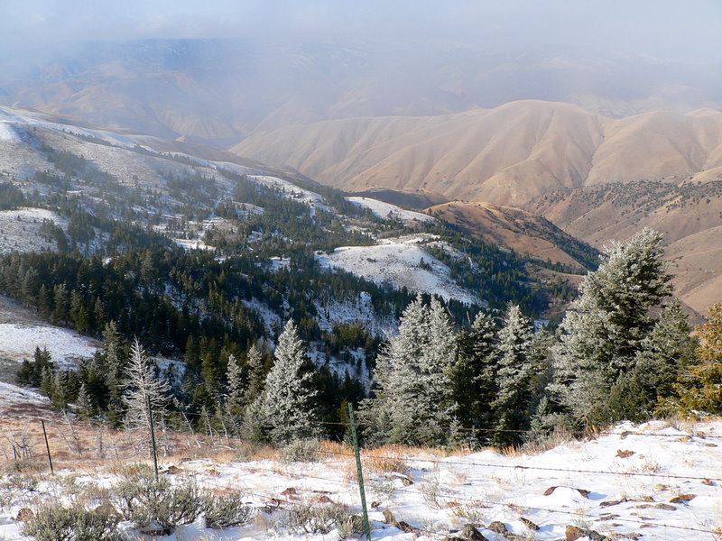
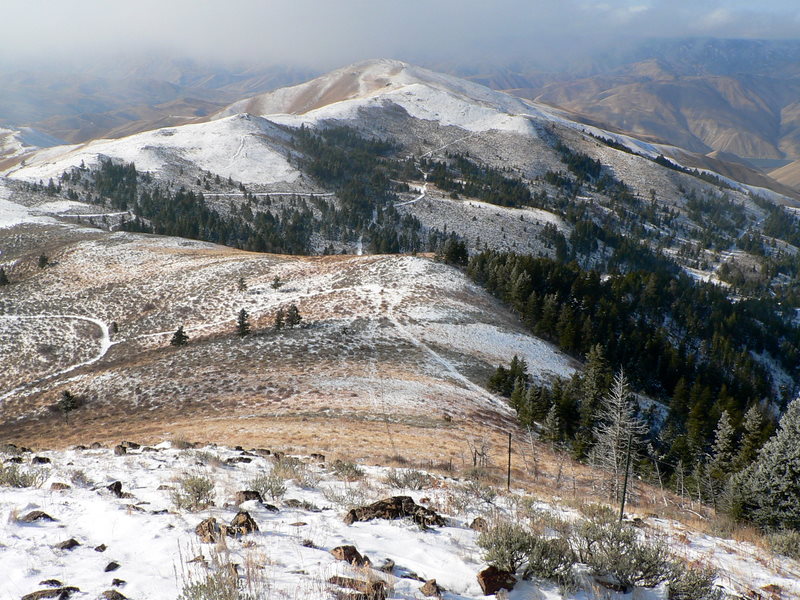
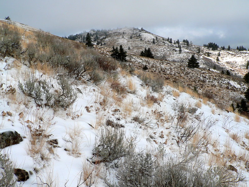
As we hiked, fog rolled in from the east and limited our views. Since we had not brought a GPS or compass, this forced us to really study the terrain to navigate to Iron Mountain. After finding Iron Mountain, we spent a lot of time making sure we headed the correct way to Chinaman's Hat. We then descended onto a ridge in the fog and the ridge led us right to Chinaman's Hat.
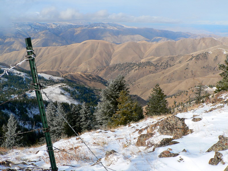
Chinaman's Hat was mostly out of the fog layer, but windy and cold. There was even a bit of tricky climbing (20 feet of it or so) on its snow covered rocks. On top, we could see McChord Butte to the west, parts of Brownlee Reservoir, and even the vehicle parked at the gravel pit. Nothing too spectacular, but nice to get out and stretch the legs and catch up with an old friend.
Getting there:
We followed Mann Creek Road for 7.3 miles after we passed the dam on Mann Creek Reservoir. We then turned left (northwest) onto Adams Creek Road. We followed the road approximately 7 miles to an area marked "Gravel Pit" on the topo map. This gravel pit is located about 1.25 miles SSE of Iron Mountain. The road to the gravel pit is in excellent condition.
Hiking instructions:
From the gravel pit, we made a hike out of it by continuing down the road a bit before heading over to Iron Mountain. While making the hike longer, this made no sense as one could hike nearly straight to the summit from the gravel pit.
After summiting Iron Mountain, we just followed the ridge over to Chinaman's hat
|
|
Photos
|
|
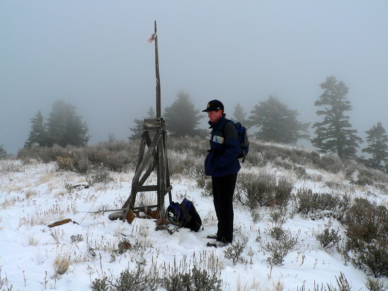
| Zach in deep thought. |
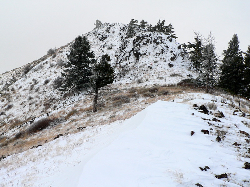
Chinaman's Hat. |
| |
|
|
|
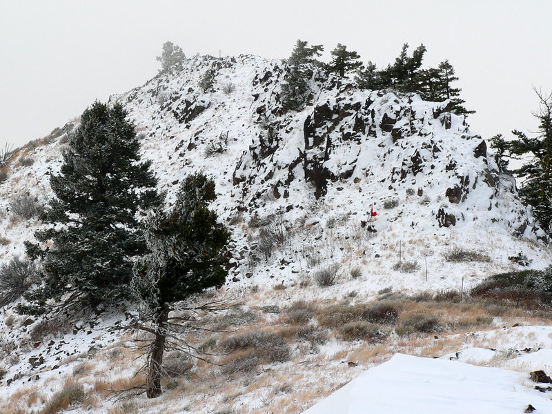
| Chinaman's Hat zoomed in a bit. |
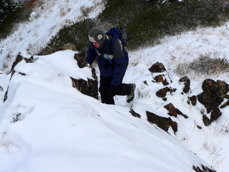
Zach ascending snow-covered rock. |
| |
|
|
|
| Looking down toward Brownlee Reservoir. |
Same general area, but looking more northwesterly though. |
| |
|
|
|
| McChord Butte. |
Iron Mountain finally comes out of the fog. |
|