RockyMountainSummits.com Home  |  My Peak List  |  Message Board  |  Contact Me  |  View the Guestbook  |  Sign the Guestbook


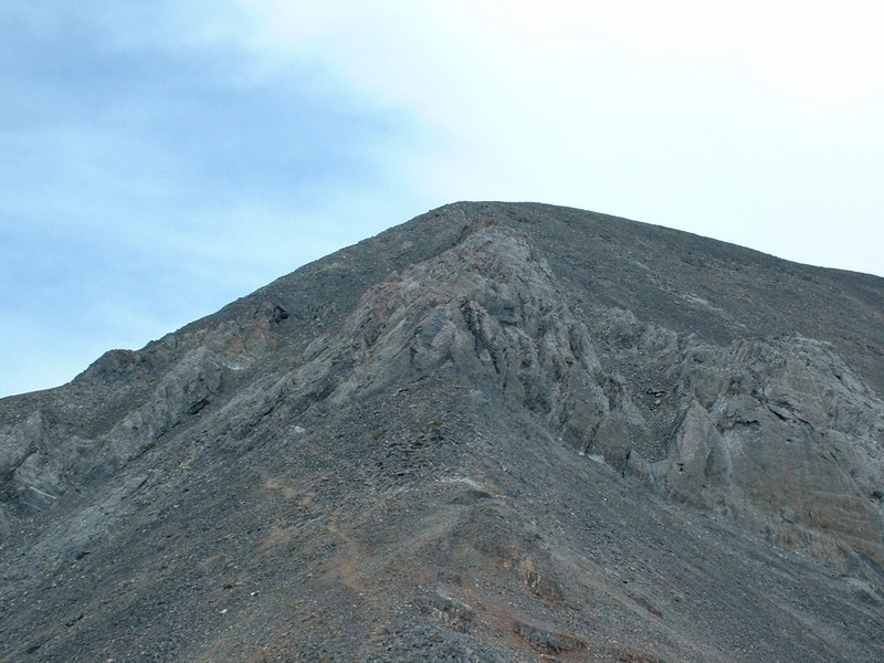
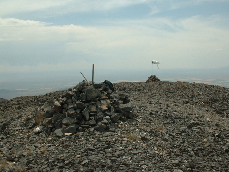
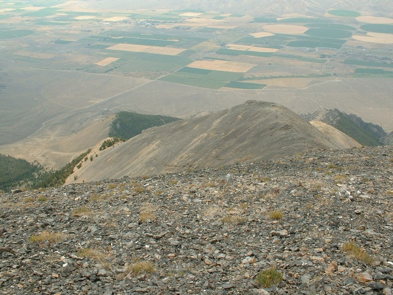
King Mountain - 10,612


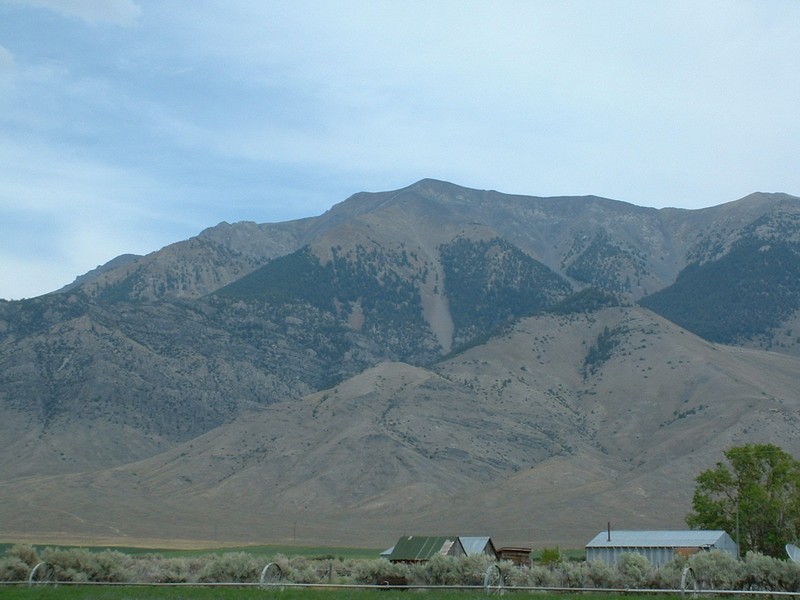
King Mountain from the Lost River Valley.

Trip Report (8/23/2002):
I soloed King Mountain. This is a fairly easy and quick climb. A trail basically leads the entire way, with only one tricky spot just below the summit. On top is a massive summit cairn with hundreds of bottles, coffee cans, etc... containing peoples names and hiking jibber jabber. This is a really easy climb for a Lost River and 10,000 foot plus peak! Oh yah, and the views aren't so bad either.


Trip stats:
Time: 3 hours (amazing!)
Length: 3 miles
Elevation Gain: 2800 feet
Class (difficulty): 2

Directions:
From Arco Idaho, drive 8 miles north on Highway 93 to the town of Moore. Once in Moore, look for big brown signs stating "King Mountain Launch Site" on the east side (right) of the road. Follow these signs as the road winds up King Mountain to several hang gliding launch sites. You could probably park at the flatter area at around 7,500 feet, but I kept chugging up the road to a flat spot just east of point 7,825 on the map. This road is not shown on the topo maps for this area.

Route:
From the end of the road, pick up a climber's trail heading up the west ridge and follow it to the summit. The trail can even be followed through the rocky area just below the summit. Some people consider the real summit to be a mile further to the northeast (looked like a seperate peak to me), but I climbed the mountain labeled "King Mountain" on the USGS topo map.

Pictures: Click on the pictures below to see the full-size version.
Nearing the top, this is the only tricky part of the climb.
The summit.
Looking down at the Lost River Valley from the summit.


Please send comments, suggestions, and questions to dan@idahosummits.com.
© 2001 All Rights Reserved RockyMountainSummits.com