Stats
Distance: 10 miles
Elevation gain: 2600' (cumulative)
Class (difficulty): 1
Report:
Kepros Mountain is a great early season hike. The trailhead is about 30 minutes from Boise and easily accessed. The route utilizes the Arrowrock Ridge tracks (mostly a trail a top of rocky, windswept ridge). The views of Boise on one side and the Boise and Trinity Mountains on the other are spectacular. You will see a lot of deer and elk on the hike and it is doubtful you will see too many others on the journey through this very open country. Don't be deceived though, this is a tough hike, as the trail undulates up and down ridges. You nearly gain as much elevation on the way back as you did coming in.
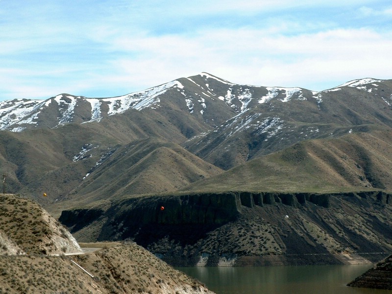
From the top of Kepros you will enjoy fine views of Lucky Peak Reservoir, Boise, and the Boise and Trinity Mountains. The top is reached by a road, but the road is only open during the fall hunting season and you'll be up there in the spring :-)
For an interesting side hike, head over to one of the numerous signs you see dotting the landscape about mid-way to Kepros. I'm not sure what the signs are there for, but I found several skull and crossbones on them. Freaky!
Getting there:
Take the BLACKS CR. RD. EXIT 64. Turn north (left if coming in from Boise) onto E BLACKS CREEK RD. Follow E BLACKS CREEK RD for approximately 6.4 miles, where you will turn left (north) and continue on a improved dirt road to Blacks Creek Pass at 11 miles.
Hiking instructions:
From Blacks Creek Pass hike west to the saddle just north of Three Point Mountain. Turn north and follow the steep track to the top of the ridge. You have commanding views now on this rocky, windswept ridge. Keep heading north on the trail, which now bypasses several ridge tops (thanks to Tom Lopez who has been civilizing this trail for years now). Eventually the trail heads more westward and meets up with a dirt road heading directly north to Kepros. The road descends to a saddle where a few pine trees are found, before climbing the final steep section to the summit. Return the way you came.
|
|
Photos
|
|
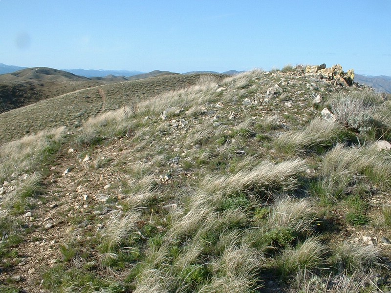
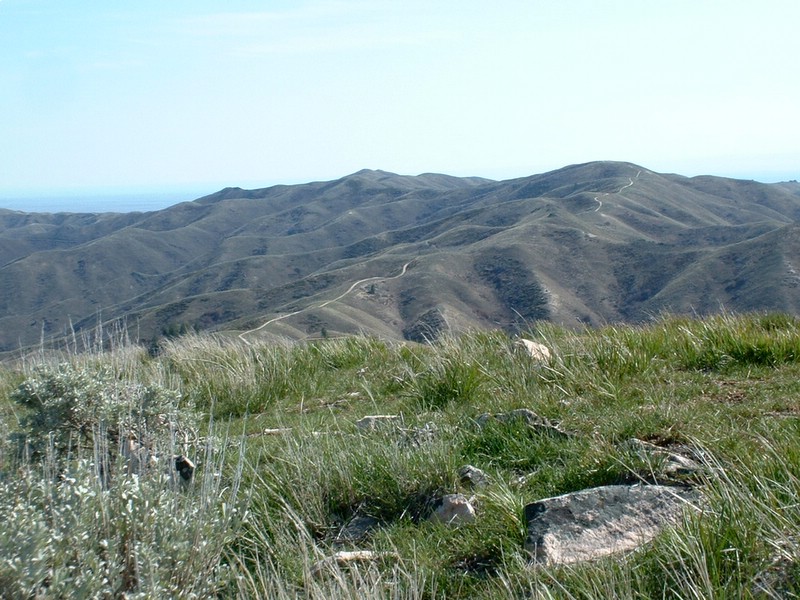
| The trail on Arrowrock Ridge. |
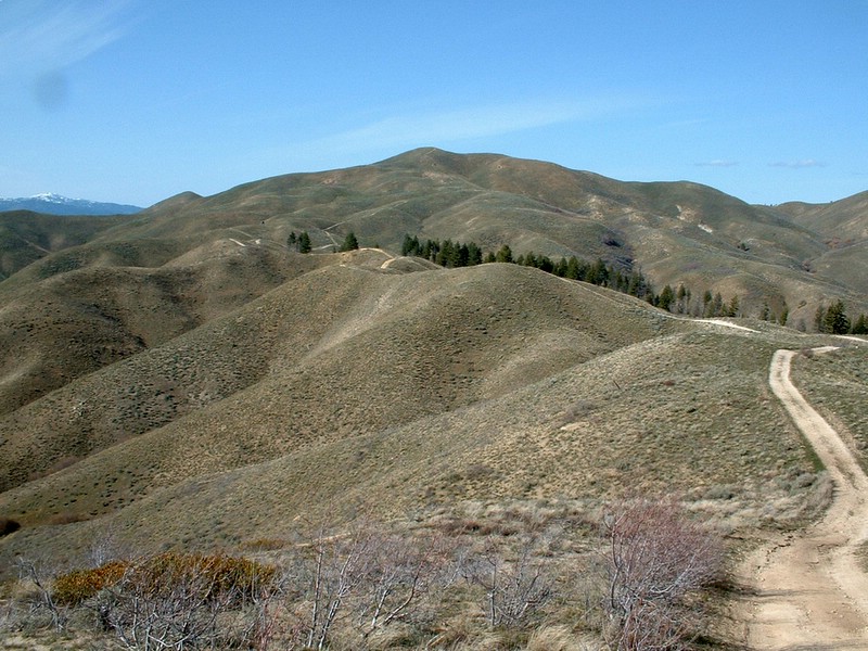
Kepros from the road. |
| |
|
|
|
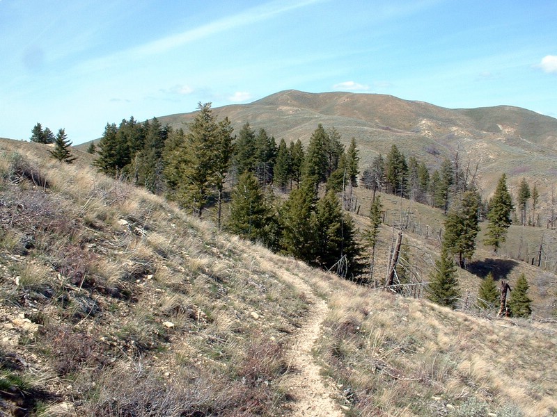
| Kepros from the only area of trees. |
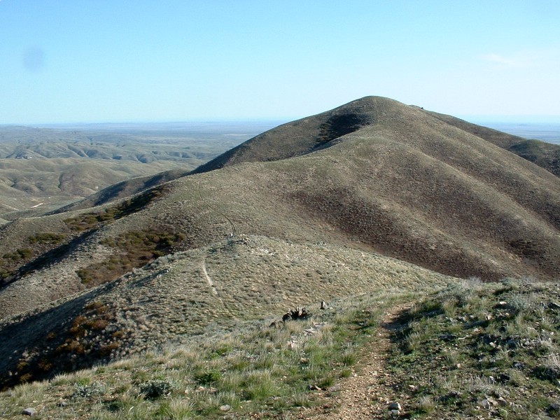
Heading back to the truck, this is the saddle just north of Three Point Mt. |
| |
|
|
|
| Looking back at the route from the summit. |
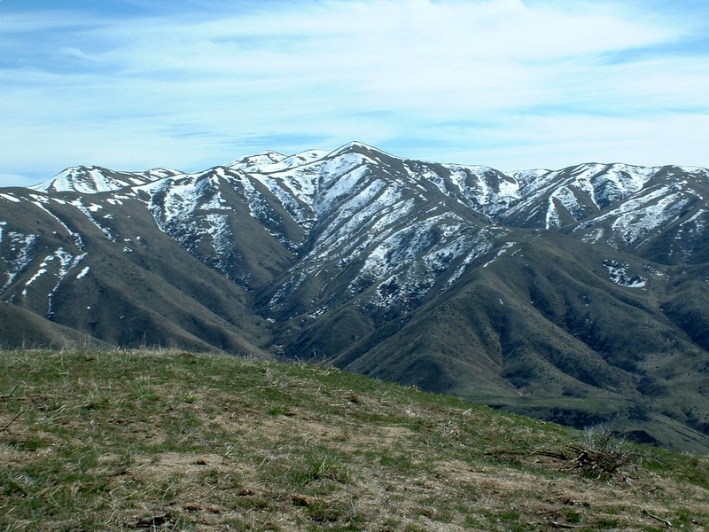
Kepros from the west during the spring. |
| |
|
|
|
| Kepros from the slopes of Cervidae Peak. |
Kepros from the Mores Creek bridge (Dec. 2005). |
| |
|
|
|
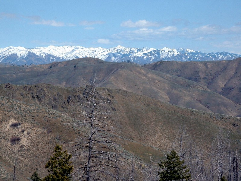
| View of the Trinities. |
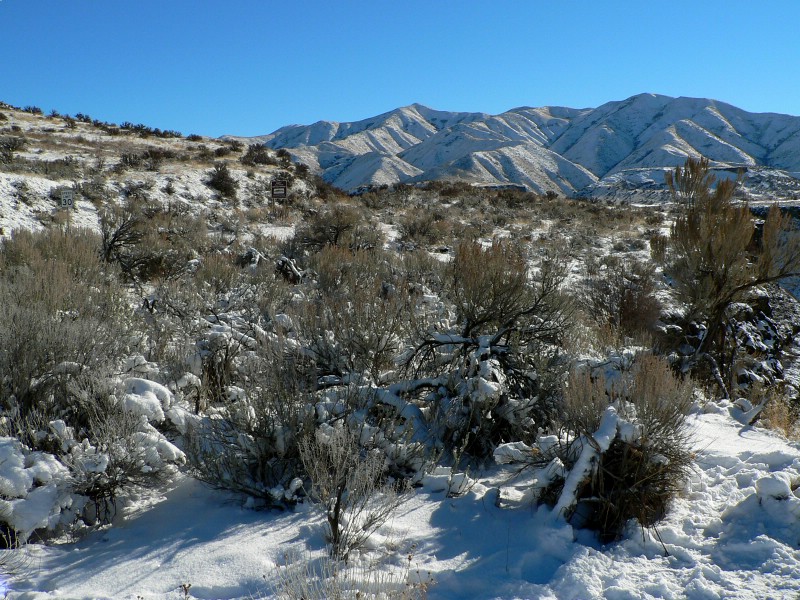
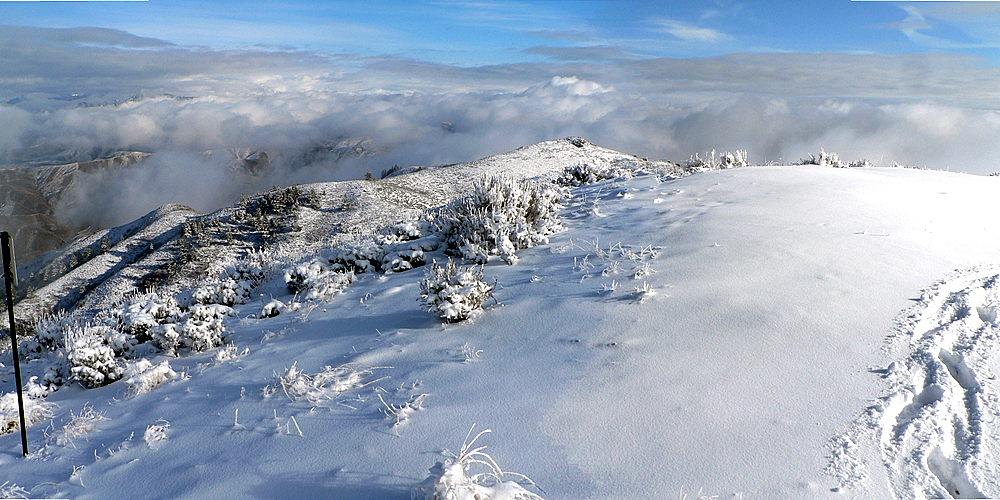
View from Kepros summit in December 2007. |
|