Stats
Distance: 5 miles
Elevation gain: 2100'
Class (difficulty): 3
Time: 3 hours
Report:
Not a huge trip report here... just a quick ascent of Jughandle Mountain while on a mini-vacation in McCall. After shopping and dining during the morning and early afternoon, my wife must have sensed I was ready for a hike and gave me the green light around 3:45pm. I didn't really know for sure what to do, but I remembered that Jughandle Mountain was fairly straight-forward and actually an interesting looking peak. So I set out for the trailhead near Boulder Reservoir.
The route takes a trail to Louie Lake. The trail is well trodden and even merges with a ATV road for most of the hike. I reached the lake in 45 minutes and stopped to watch fisherman and take in the incredible view of Jughandle reflecting in the water. I could see the route before me, which looked pretty obvious as it left the south end of the lake. So to the south end of the lake I trekked. Amazingly, I found a faint climber's trail on this steep, lightly forested slope. In a few places, I stuck to the ridgeline when easier slopes could have been had to my right (on western side of the peak).
The summit is a long ridge, with a large wooden flagpole marking the high point. I signed into the summit register, which had about 40 signatures since August. Wow... that is a very popular peak by Idaho standards.
Descent off Jughandle is easy, as the slopes are steep, but with good footing. I was back down to the lake shortly and caught some red glows hitting Jughandle and reflecting in the lake. I reached the trailhead at 7pm, approximately 2 hours and 45 minutes after I had left.
This is a recommended route (highly if not for the traffic to Louie Lake). You could definitely add more peaks if you had the time, as several named peaks are nearby.
Getting there:
About 2 miles south of McCall, turn east onto Elo Road. Elo Road becomes Farm-to-market Road, which eventually becomes Brundage Lake Road. You will reach the trailhead at 7.5 miles.
Hiking instructions:
Follow the trail to Louie Lake, then work your way around the west side of Louie Lake. From the south end of the lake, follow the northwest ridge to the top of the peak.
|
|
Photos
|
|
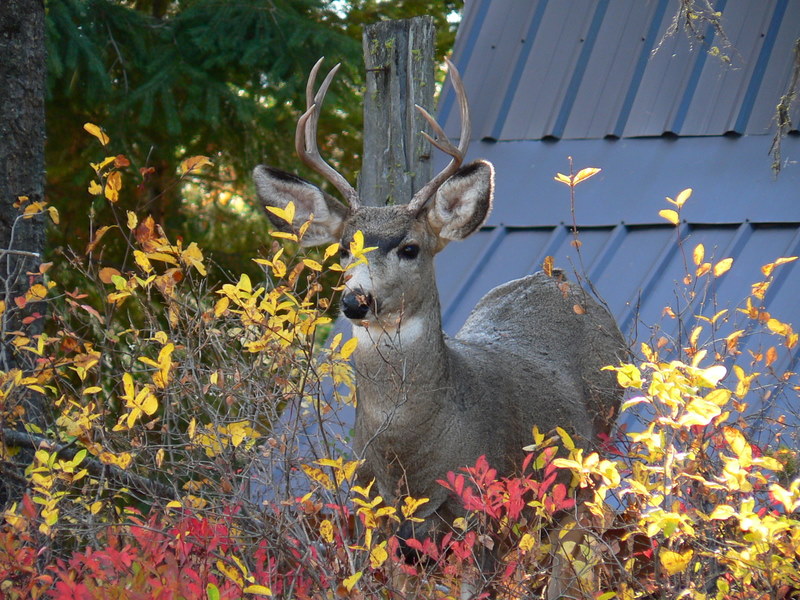
| A deer hanging out within 10 feet of our cabin. |
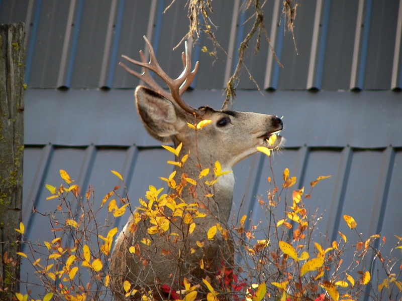
Same deer eating. |
| |
|
|
|
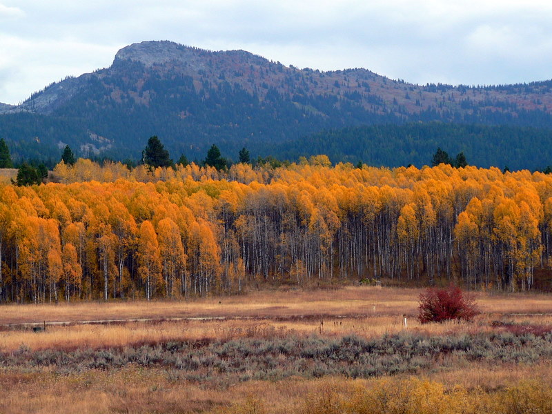
| Jughandle from Long Valley. |
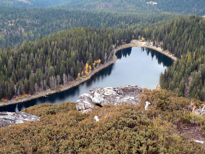
Louie Lake from the slopes of Jughandle. |
| |
|
|
|
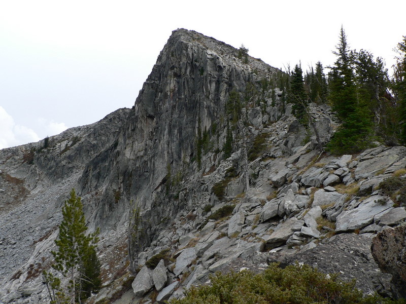
| Jughandle's northwest ridge. |
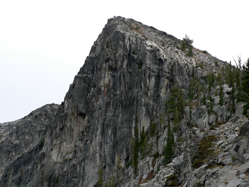
Jughandle's north face. |
| |
|
|
|
| Me on the summit of Jughandle Mountain. |
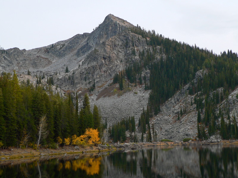
Jughandle from Louie Lake. |
| |
|
|
|
| Jughandle from Louie Lake. |
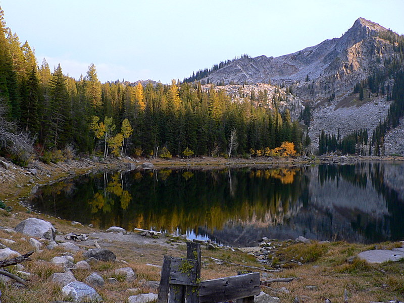
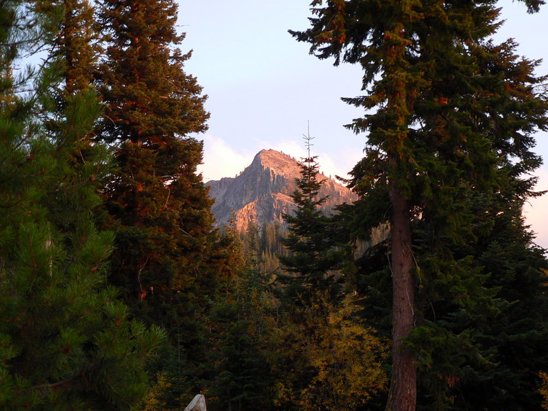
The last rays of sun touch Jughandle. |
|