Stats
Distance: 9.7 miles
Elevation gain: 3740' (cumulative)
Class (difficulty): 2
Report:
After a long stretch of snowy weather in the mountains, we finally got a break in the weather. Myself, Sean H., Michael, and Turkey took advantage of it.
We left Boise at 6:30am and headed out for our trailhead just past Lowman. With Sean driving, we made it to the trailhead in 2 hours. We were excited to find the road going over the Payette River was open and plowed. The only disappointment at the trailhead was the cold temps, which made getting ready difficult and froze up our water bottles and water bladders (later someone claimed it had adverse affects on other liquid).
Our initial steps were taken on a snowmobile track and were quite nice. We followed these tracks for a while and they seemed to be heading up the road as we wanted. After 1/2 a mile or so we ran into a gate and private property. This forced us into some bushwhacking on unpleasant terrain. We basically just angled for where we thought the trail should be and eventually found it cutting across a hillside. We started up the trail - not because it provided a beaten path or anything - but because I knew that route was the least steep and would safely get us to the summit.
The snow was poor down low, loose and slippery, but we reached a ridge at about 5000' and after that the snow was more firm. After only gain 600' in the first hour or so of hiking, we blazed up the slopes to Point 6681 quickly and then took our first real break of the day near Point 7140. We then finished following the northeast ridge to its merger with the east ridge. Other than a steep section just before we turned west and climbed the final summit ridge, this route was not that steep.
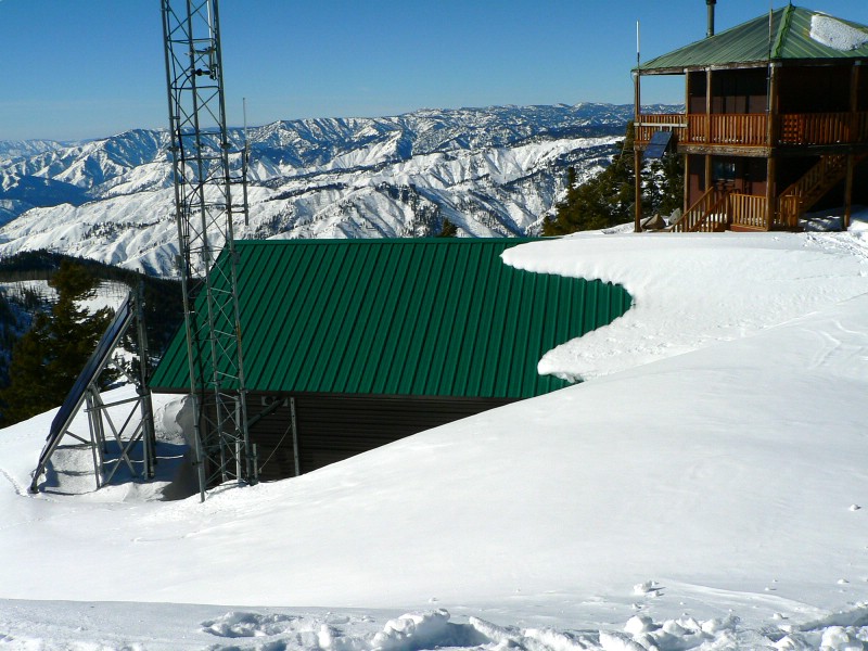
The final summit ridge had a huge cornice on it. The top of the peak had great views of the Payette River valley, the Sawtooth peaks, and the Boise and Salmon River mountains. The lookout was high and dry, but a large building next to it was covered on one end to the roof with snow. Michael took his summit break on the roof.
Getting there:
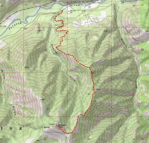
Drive to Lowman and then head east toward Stanley. Drive approximately 13 miles and take a left on the road signed Jackson Peak trailhead. We crossed the bridge, took a right at the first junction we reached, then followed the left fork of the road at the next intersection and parked shortly thereafter.
Hiking instructions:
In the low, flat area at the start of the hike... good luck! Just try to follow the ridge that contains the trail. This route will get you to the top safely.
|
|
Photos
|
|
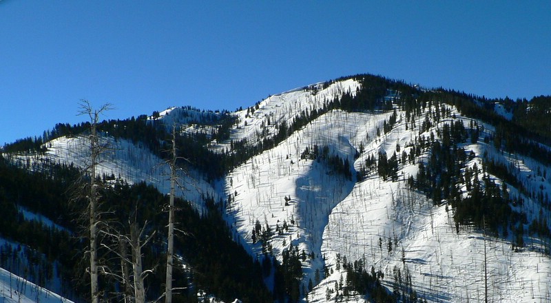
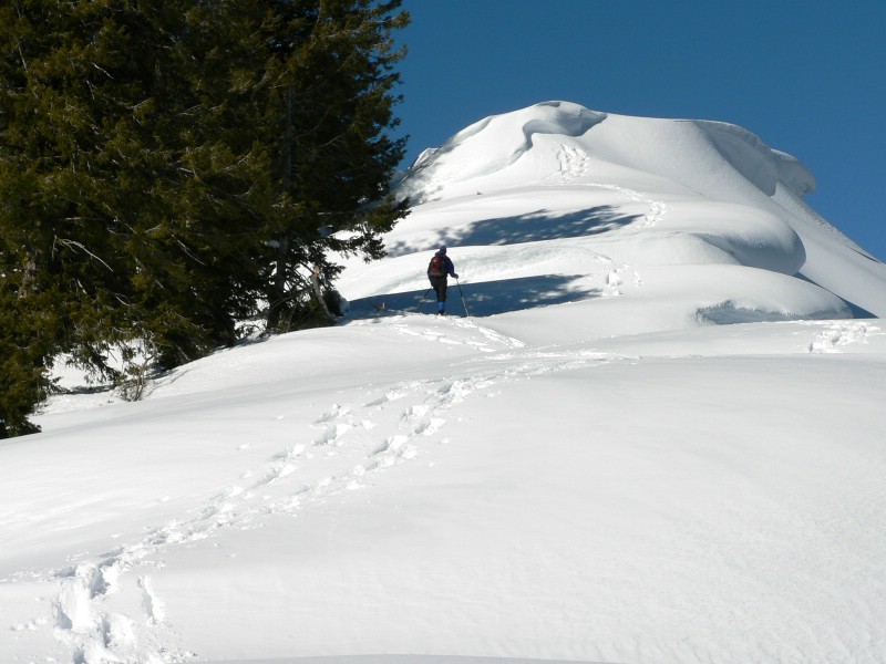
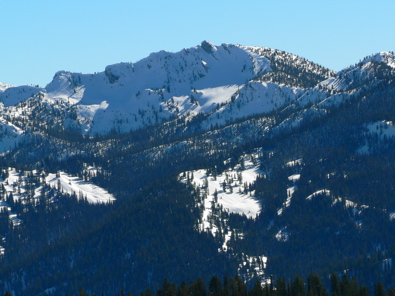
| Our first view of Jackson Peak. |
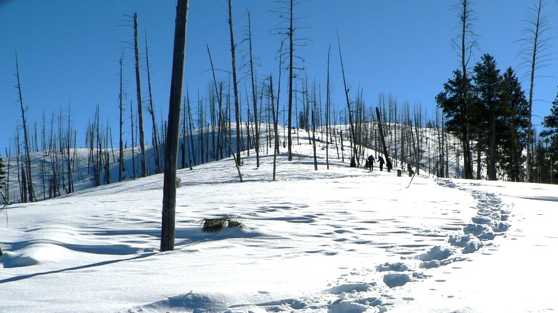
The group snowshoeing on the ridge. |
| |
|
|
|
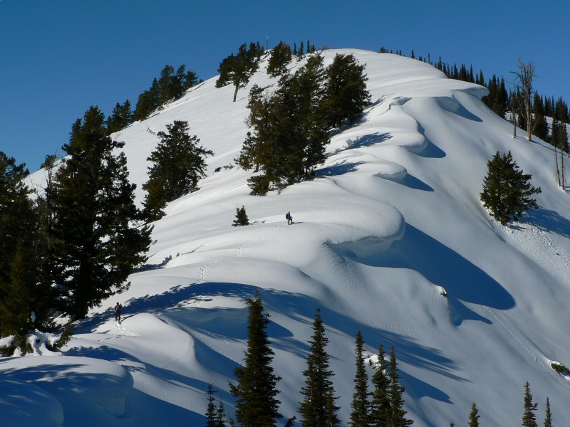
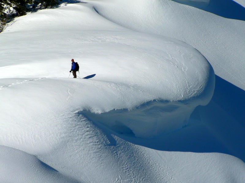
| The final summit ridge. |
Sean being dwarfed by a cornice. |
| |
|
|
|
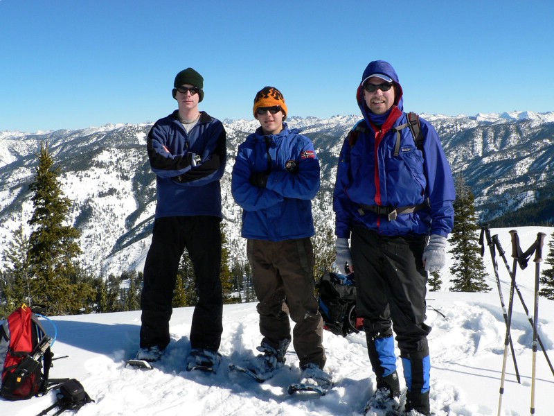
| The summit ridge once again. |
From the left... Turkey, Sean, and Michael. |
| |
|
|
|
| The lookout and out buildings. |
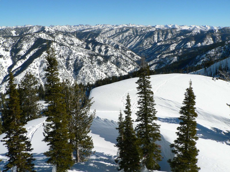
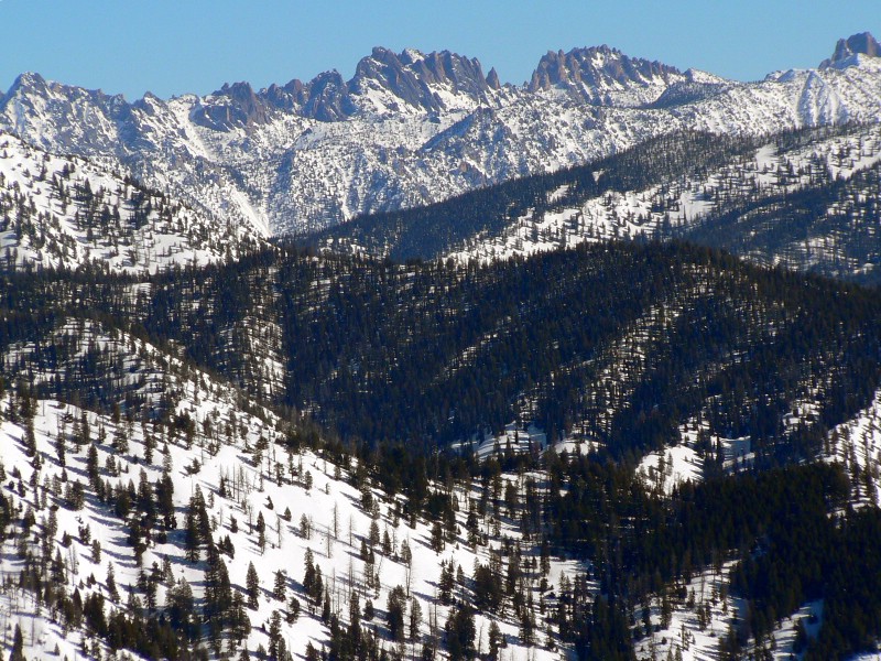
The Sawtooths from the summit. |
|
|
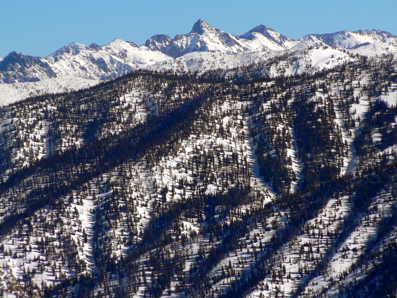
| Some bad ass Sawtooth peak. |
Verita Ridge (?). |
| |
|
|
| Wolf Mountain in the Boise Mountains. |
|