Stats
Distance: 13 miles
Elevation gain: 4000'
Class (difficulty): 2
Time: 7 hours
Report:
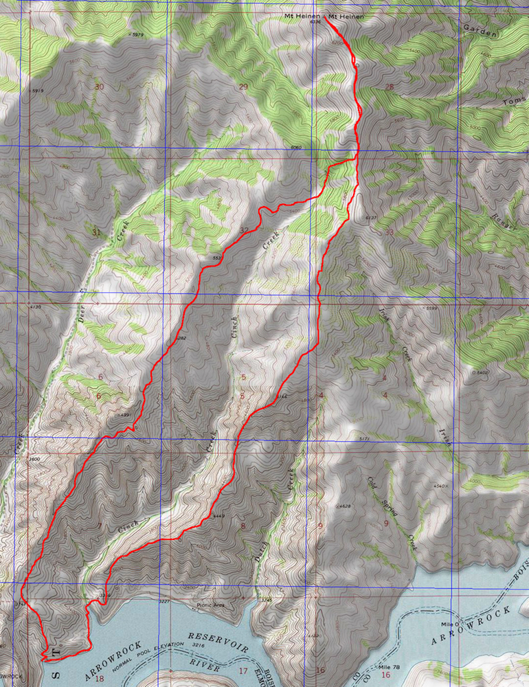
This is a great alternative to the typical route on Mount Heinen. It saves you some driving on a "not-so-great" road as well.
In an effort to get in shape for the summer hiking season, I contacted several people and arranged an outing up Mount Heinen. Splattski (John) was interested in coming and even offered up a new route that requires less driving.
In addition to John - Julie, Tom Lopez, Christian, and Erica came along. It was foggy early on and I am not sure we took the most direct route, but once we got higher on the ridge, the route became obvious and a nice trail could be found. This trail was usually on the east side of the ridge and avoided most of the points along the ridge.
It was a long and tiring hike, but the scenery was nice and we saw a lot of elk! Great day to be in the mountains.
Getting there:
Turn off Idaho 21 just like you are going to Spring Shores on Lucky Peak. Continue on the road past Arrowrock Dam. After the dam, you will go around one "penisula" or point. When the road turns into the next cove, you will park.
Hiking instructions:
From the cove, make your way up the ridge between Deer Creek and Cinch Creek. There is a great trail for most of the way if you can find it. We followed this ridge until Point 6060. We the dropped a bit of elevation and gained the south ridge of Heinen just north of Point 6137. From there, follow the ridge to the summit.
|
|
Photos
|
|
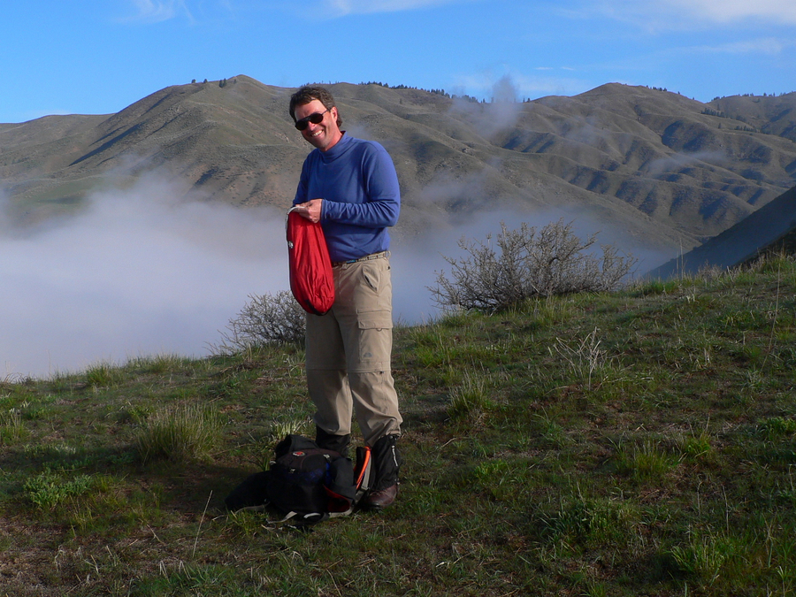
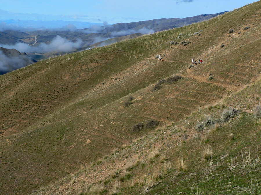
| John at our first break spot. |
Foggy ridge. |
| |
|
|
|
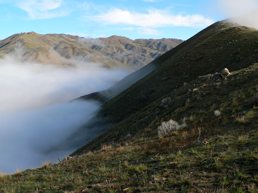
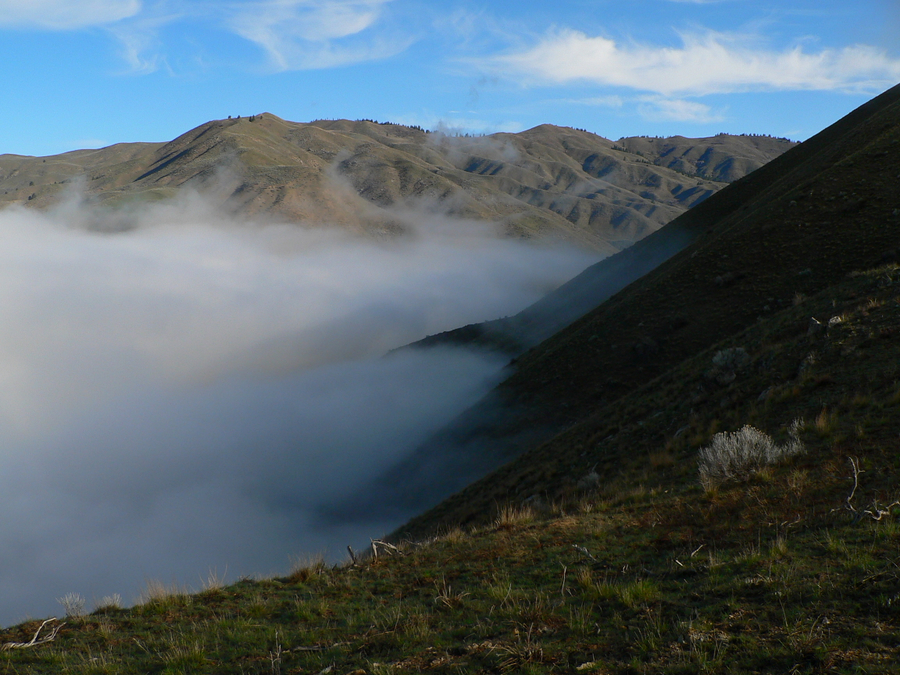
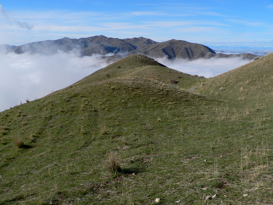
| Looking north... the fog was impressive. |
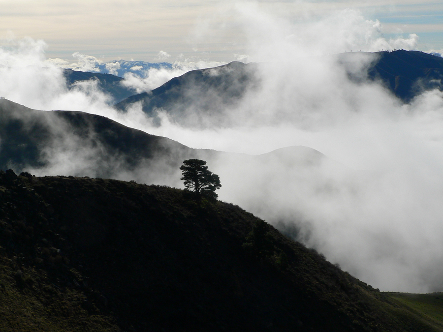
Lone tree emerging from the fog. |
| |
|
|
|
| The trail cutting across a slope. |
Kepros Mountain. |
| |
|
|
|
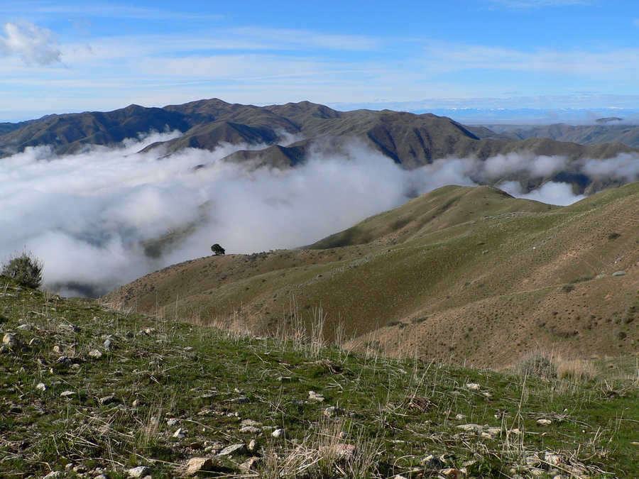
| Kepros Mountain coming out of the fog. |
Julie at our 2nd break spot. |
| |
|
|
|
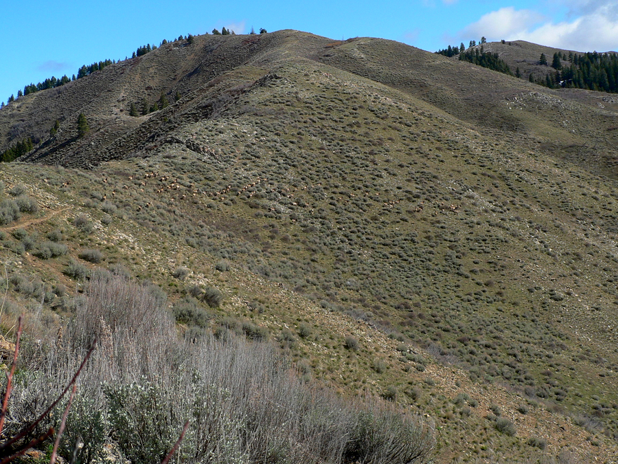
| Group of elk zoomed in. |
Group of elk in the distance. |
| |
|
|
|
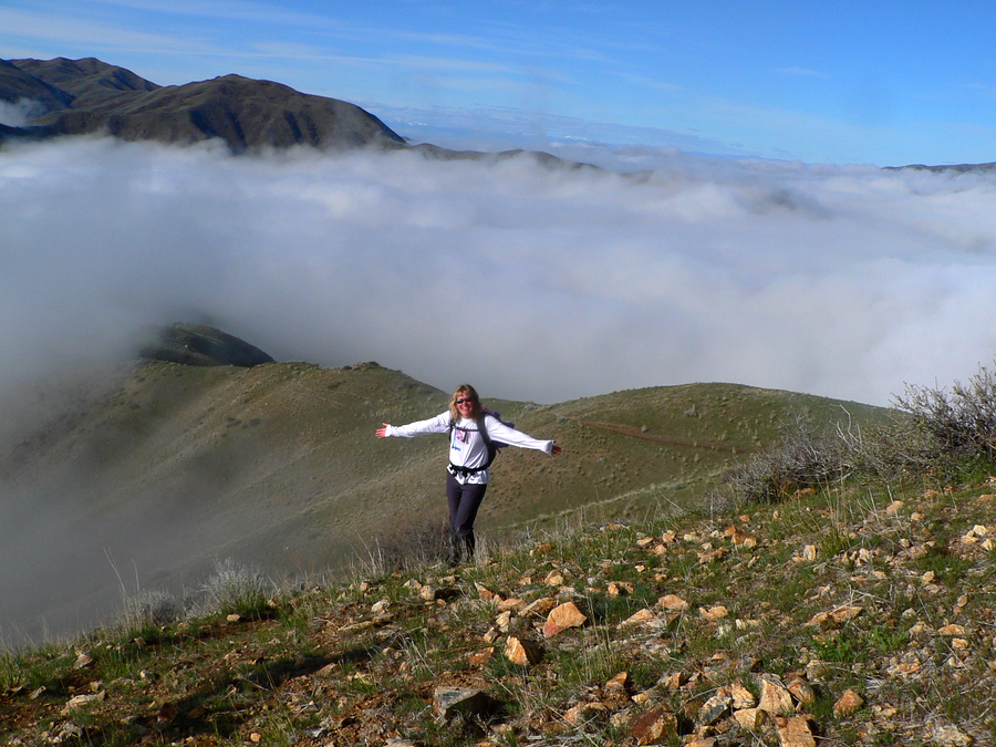
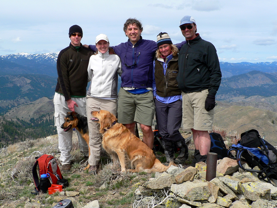
| Group photo on Mount Heinen without me. |
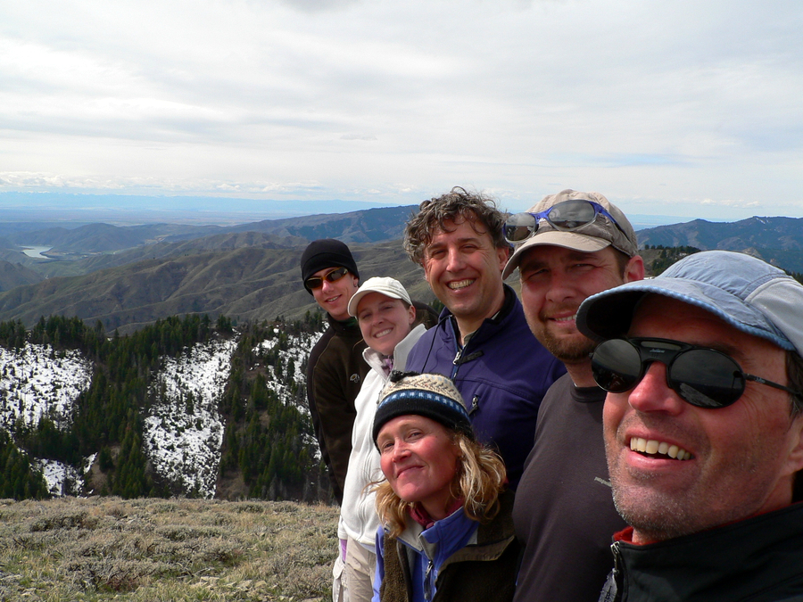
Group photo with me. |
| |
|
|
|
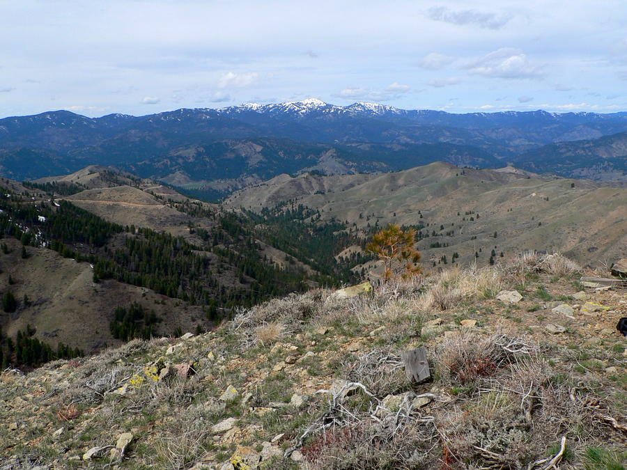
| Shafer Butte (Bogus Basin ski area). |
Our route. |
|