Stats
Distance: 9 miles
Elevation gain: 1600'
Class (difficulty): 2
Time: 4 hours
Report:
I climbed Mount Harrison on a beautiful November day. I was expecting more snow, but never removed the snowshoes from my back. In fact, the road to the summit was barren in a few spots, even towards the top. With an inversion going on, temps on top were probably around 35 or 40, with NO wind. The views of the Snake River plain, Albion area, the Pioneers/Lost River ranges, and the Cache Peak area are superb! It would probably be more fun to do when snow coverage was better.
In addition to views, on top you will also find a large lookout and some interpretive signs.
Getting there:
I drove to the Pomerelle Ski Resort. Pomerelle is located just 25 miles off Interstate 84 via Idaho 77, Declo/Albion Exit #216. From the resort, I kept following the paved road for about an 1/8th of a mile, before a snow barrier prevented me from continuing (though some morons would later break through this and become stuck a few miles in and then have the nerve to ask for help).
Hiking instructions:
Just follow the signed road as it heads west towards Mount Harrison. The road is graded and very scenic. Even in high avalanche conditions, only a few spots on the route might have avalanche danger. Ascending via the east face would be much different though, as cornices overhang the face. This face could make for exciting ski descents or spring snow climbing ascents.
|
|
Photos
|
|
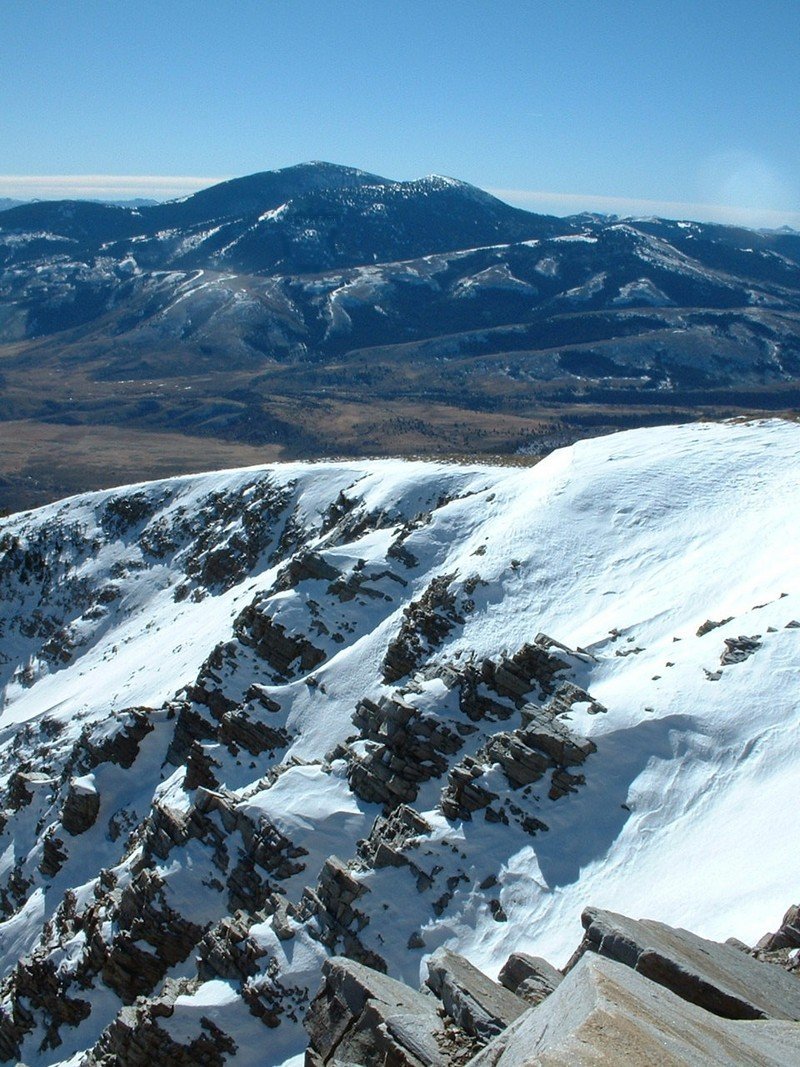
| Cache Peak from the summit. |
Cache Peak taken about half way to the top of Harrison. |
| |
|
|
|
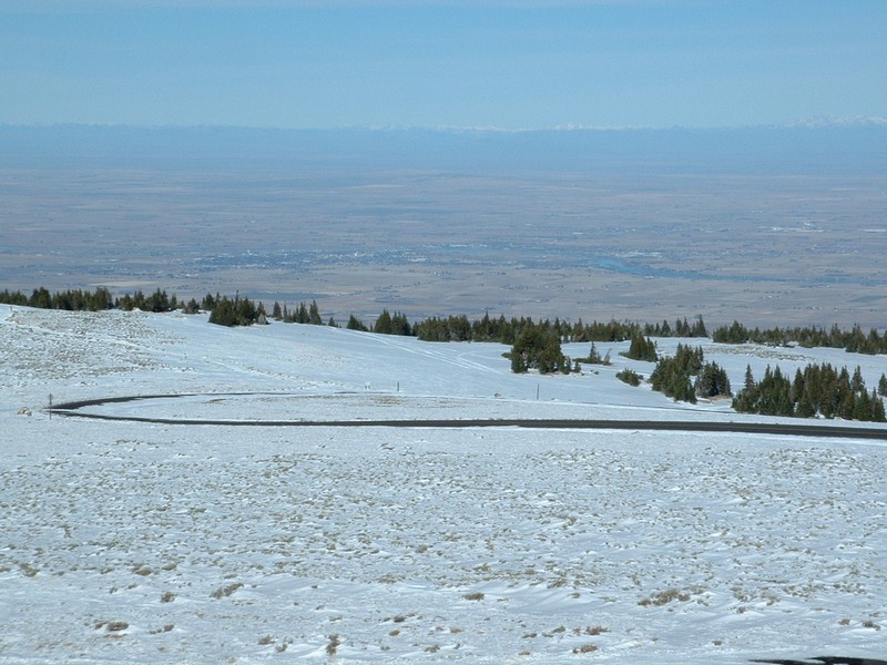
| The town of Burley and the Snake River Plain. |
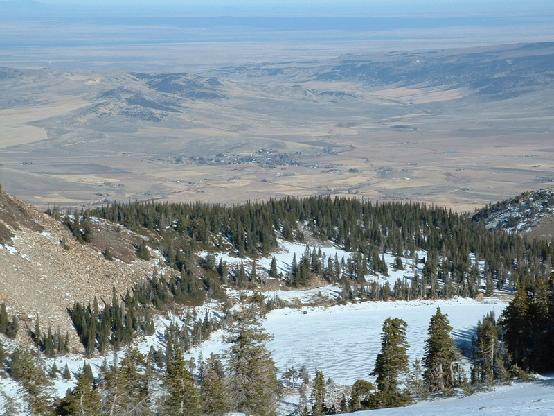
Lake Cleveland and the town of Albion. |
| |
|
|
|
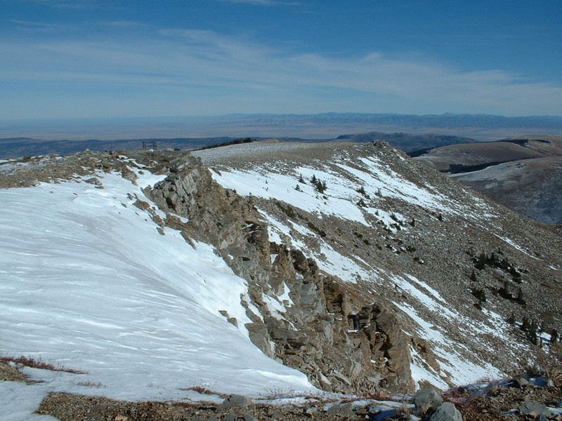
| The summit ridge towards the northeast. |
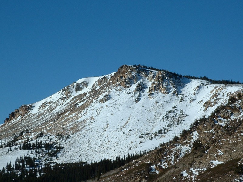
The east side of Harrison Peak. |
|