RockyMountainSummits.com Home  |  My Peak List  |  Message Board  |  Contact Me  |  View the Guestbook  |  Sign the Guestbook


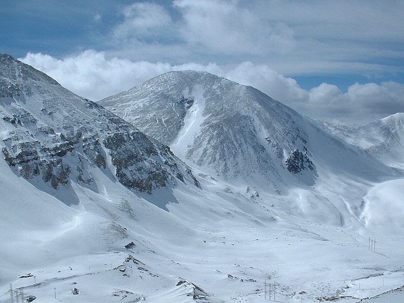
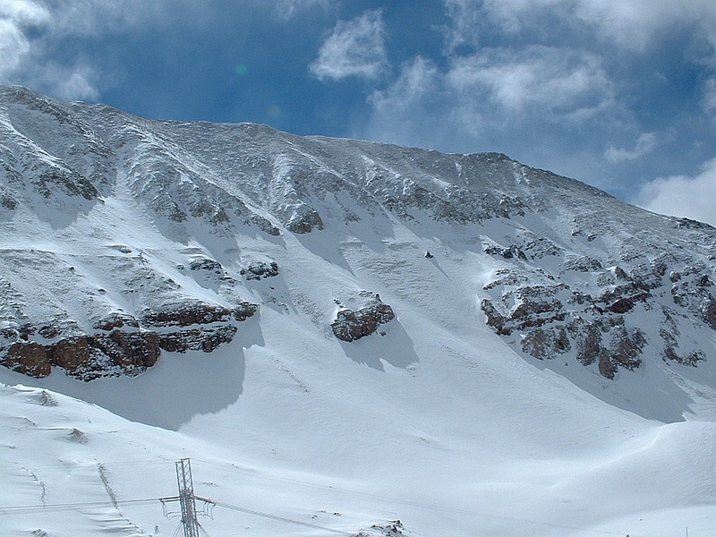
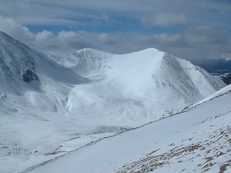
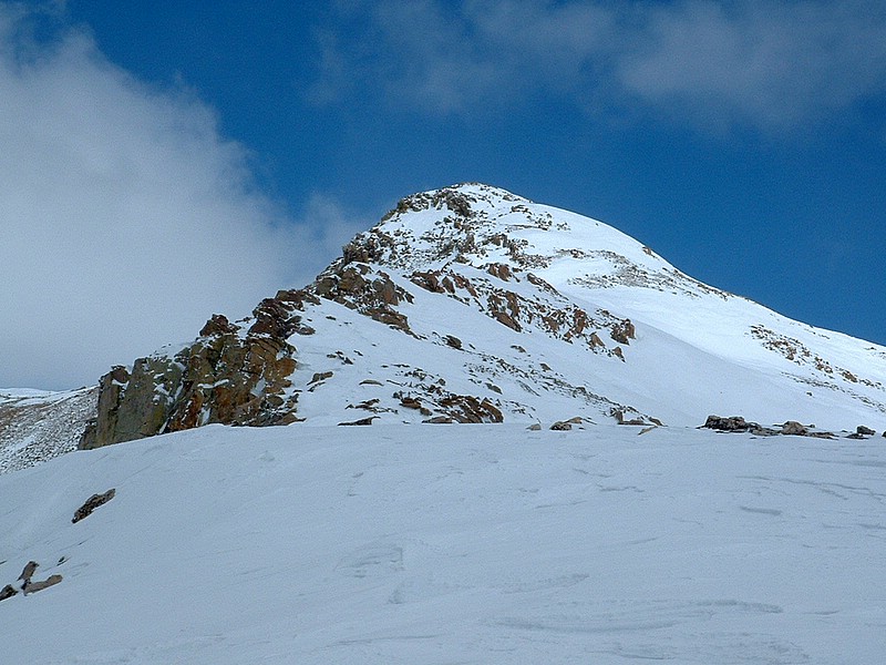
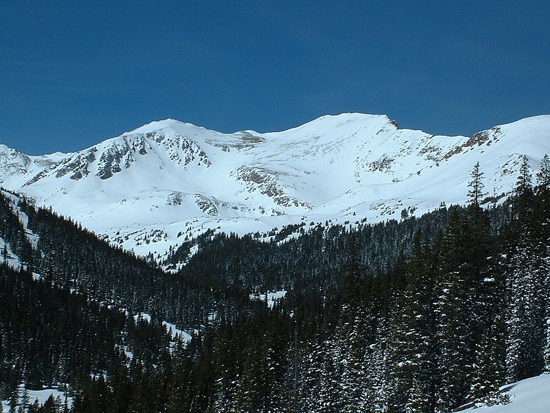
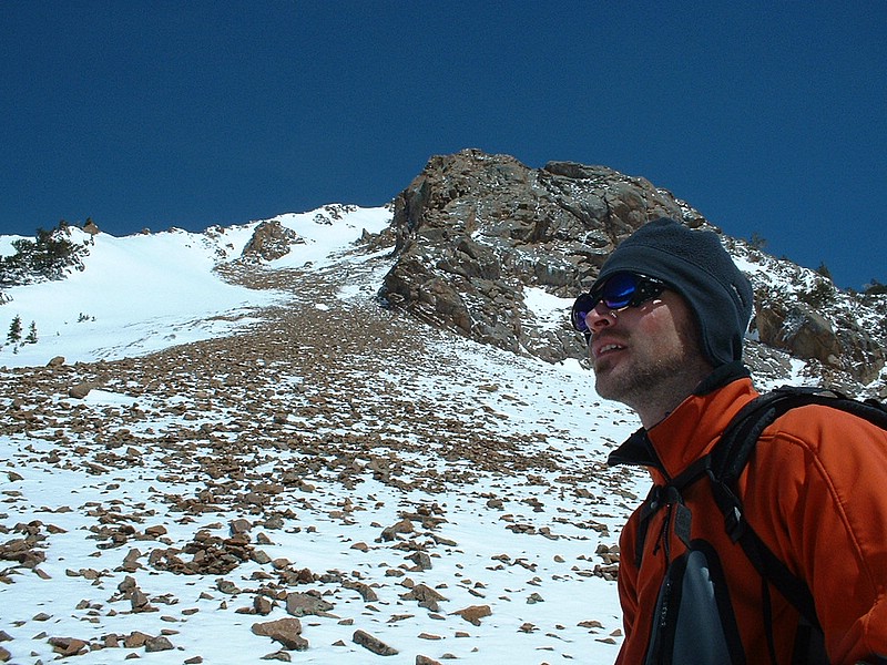
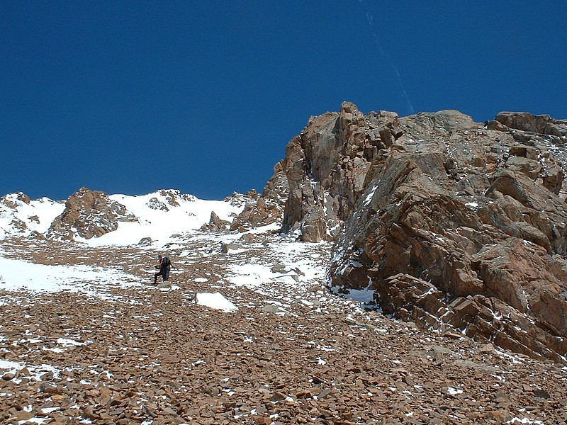
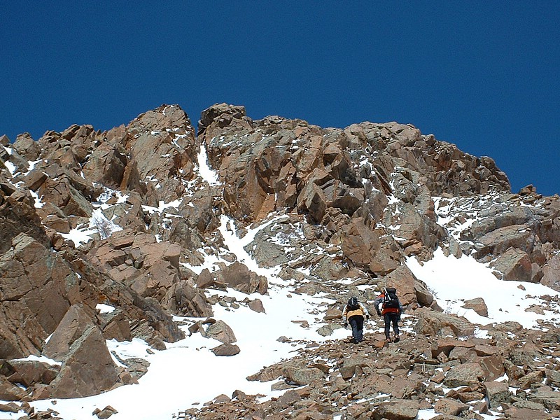
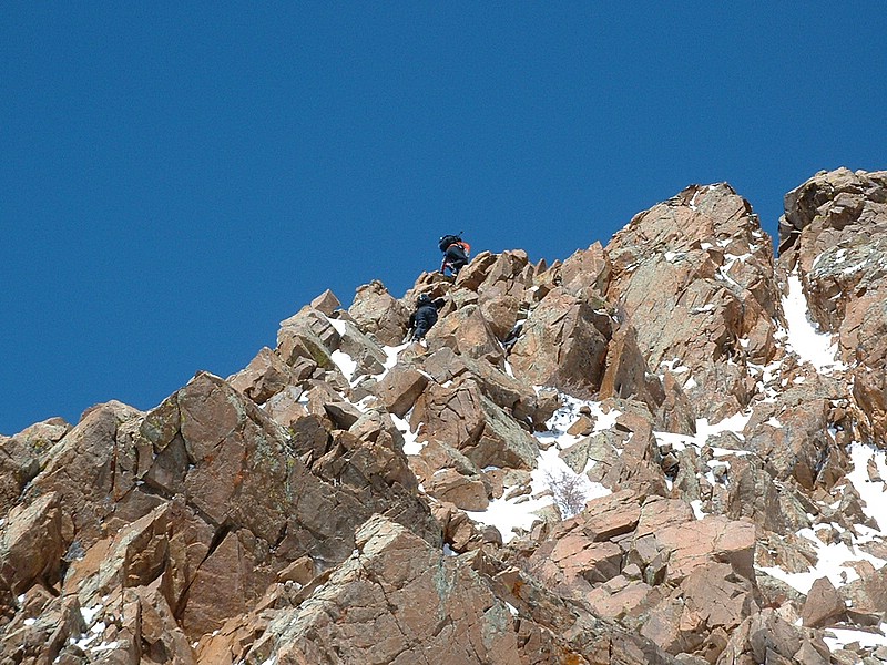
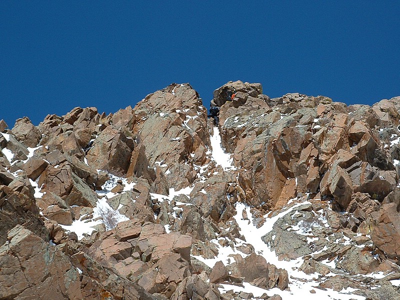
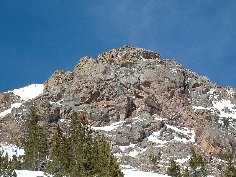
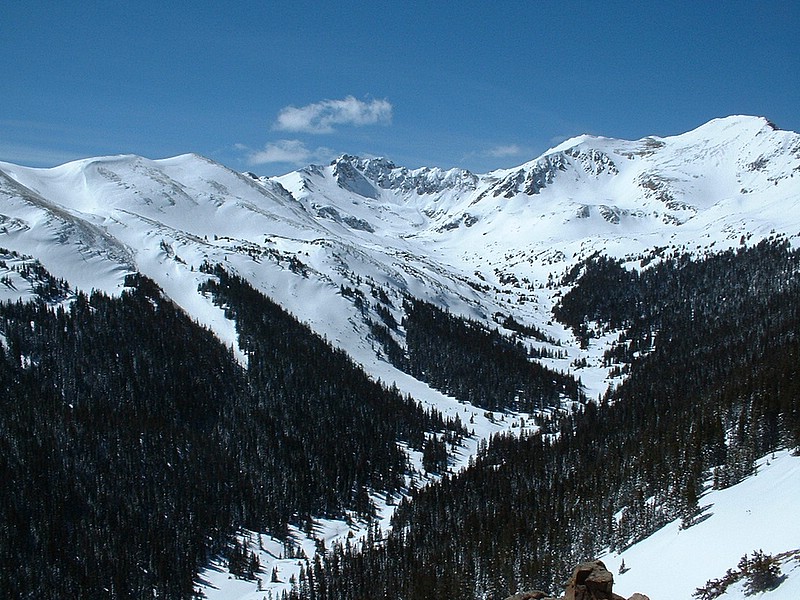
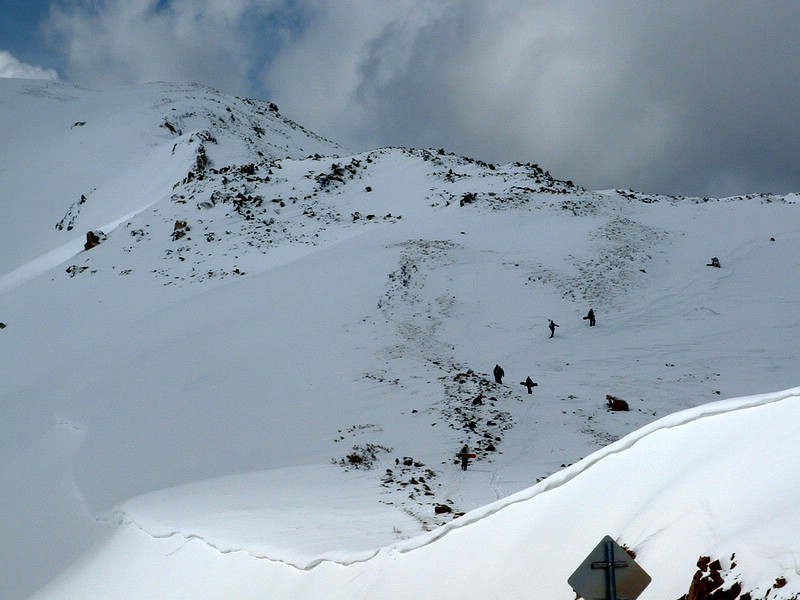
Spring Break Colorado 2005


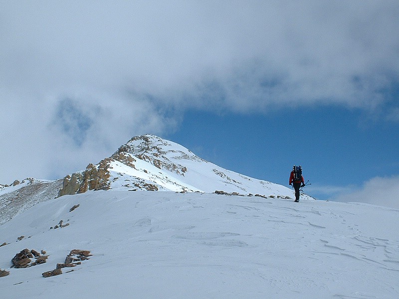
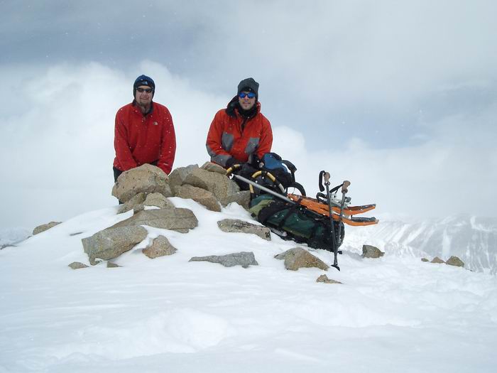
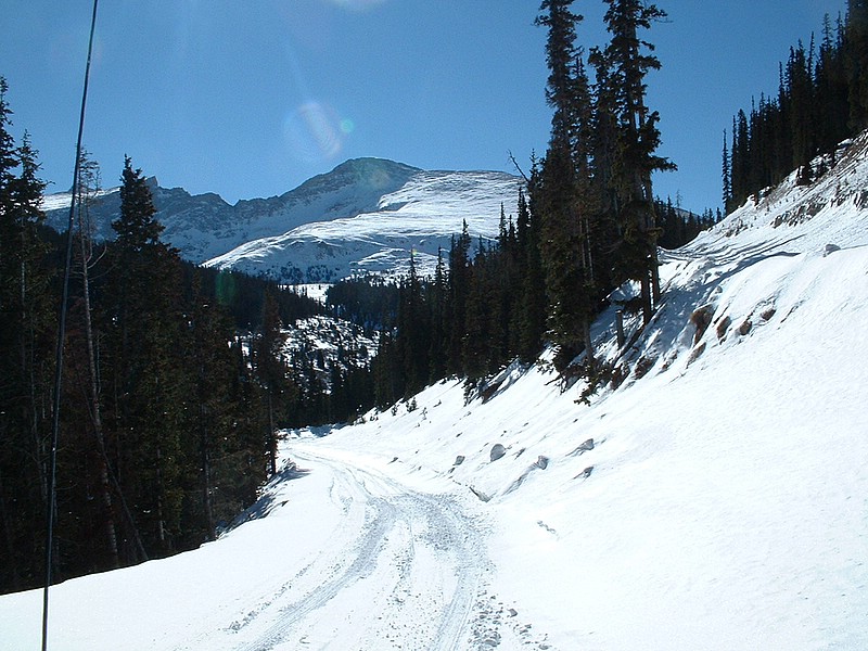
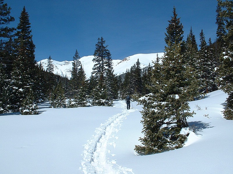
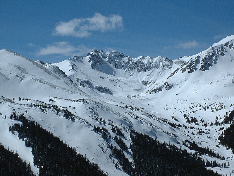
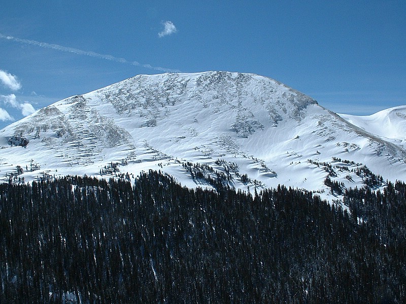
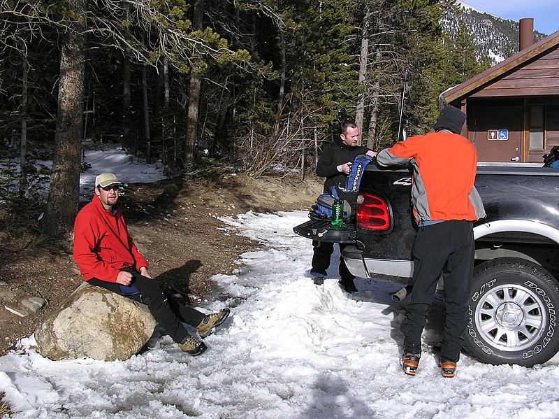
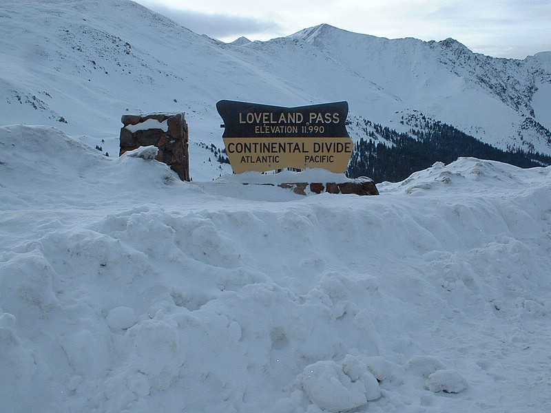
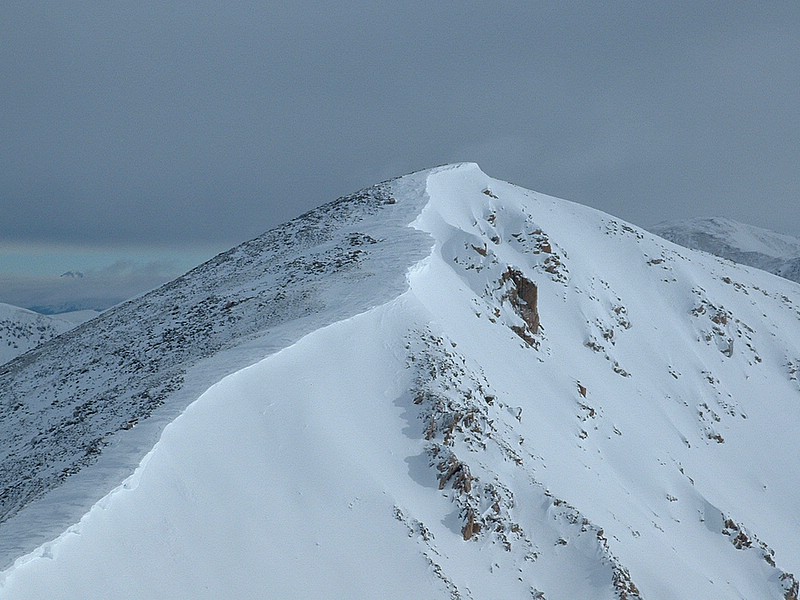
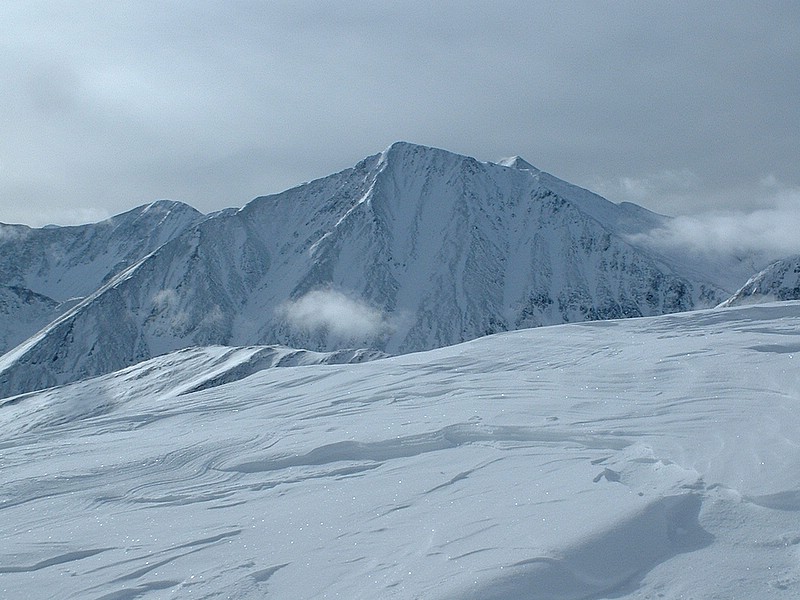
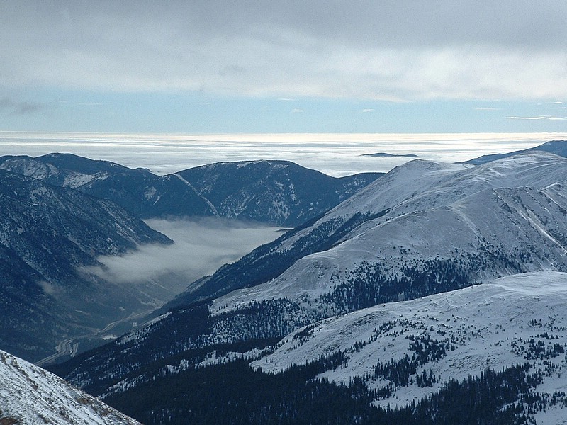
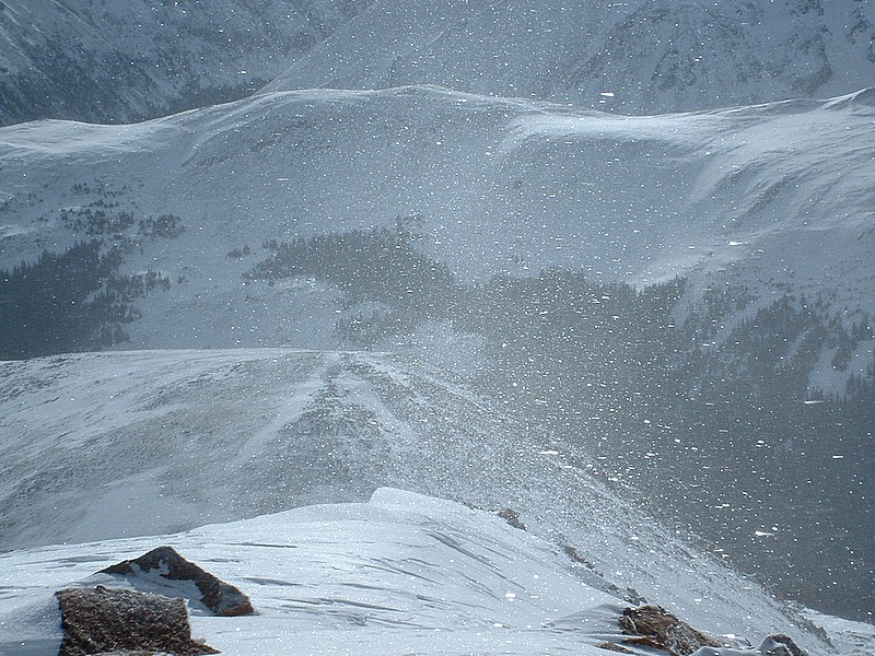
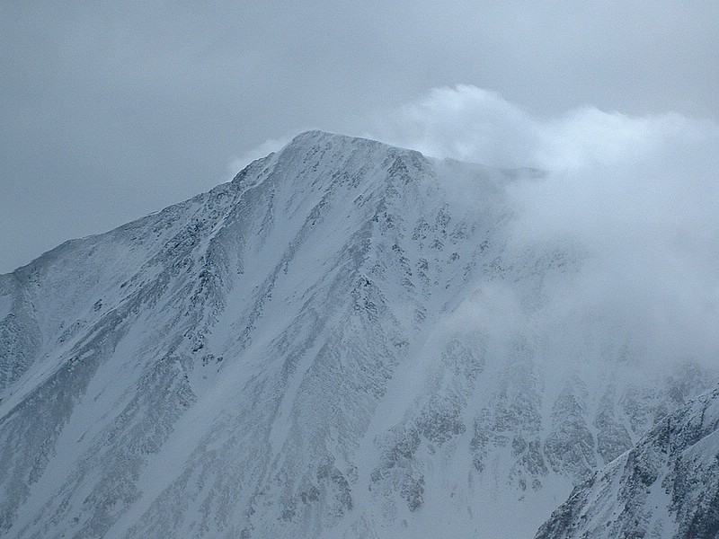
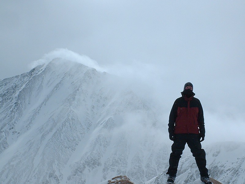
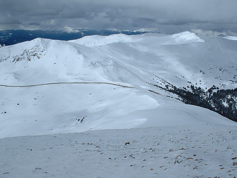
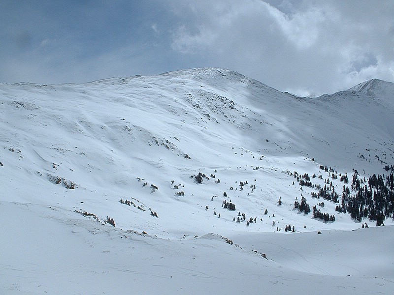
Dyer Mountain    Herman Gulch    Mount Sniktau   

Day 1 - Saturday, March 19th

We arrived to Colorado late the night before. After the long drive down, we just hung out with family and relaxed. In the evening, it was time to contact my friend/hiking partner - Jim Just - who now lives in the Denver area. We needed to discuss hiking plans for the week. We had planned on Mount Bierstadt for Monday, but immediately pushed those plans back to Tuesday after we noticed a 70% chance of snow on Monday and high winds. We then started debating whether of not to go out the next day and try for a peak. With a 50% chance of snow in the mountains, but only 1/2 inch of accumulations predicted, we decided to go for it.

Day 2 - Sunday, March 20th (Dyer Mountain - 13,855')

Jim and I met at 5:00 am to head to Leadville and the winter trailhead for the Mount Sherman area peaks. To be honest, I had thoughts of doing more than just Dyer Mountain on the trip. As it turned out though, Dyer was a very enjoyable and just long enough to get a good workout, but not be miserable. It was nice to get out in the mountains with an old friend and the weather was nice, with partly cloudy skies between snow flurries.

We started the hike at 7:30 am and headed up the snowbound road that is driveable for several more miles in the summer. The snow on this road was fairly solid, but certain areas required a lot of effort even with snowshoes. After following the road up to the south side of Dyer Mountain and into the Iowa Amphitheatre, we decided to utilize the southeast face of Dyer Mountain as our ascent route. After about 200 feet of soft snow, we removed our snowshoes and hiked on rocks and wind-hardened snow until we reached the south ridge of Dyer Mountain. Here the snow was windblown and supportive and the last section looked fun. On the summit ridge, we wound in and around small rock towers and drifts and found ourselves on top in about 30 minutes. The wind had been blowing along the ridge, but the top was nearly windless. We enjoyed views of big peaks all around us and Leadville to our west. It took us 4.5 hours to ascend.

The way out was uneventful and got to be a bit of a slog. Luckily, the views of Mount Elbert and Mount Massive (Colorado's two highest peaks) opened up in front of us and gave us something to keep our minds on. It was a great day to be in the mountains, especially given our expectations with the weather.

Trip stats:
Mileage: 7.5
Elevation Gain: 2895'
Time: 7:30
Class (difficulty): 2+

Photos (click on them to enlarge):
Sheridan Peak.
Mount Sherman (a 14er).
West Sheridan Peak.
Dyer Peak's south ridge.
Me on Dyer Peak's south ridge.
Jim and myself on Dyer Mountain (Jim Just photo).


Day 3 - Monday, March 21st

The storm came as expected and precipitation fell as rain in the Denver area and the mountains got strong winds and snow. Since we weren't hiking, we picked up some clothes and snowshoes for Ryan (my brother-in-law) and Matt (Ryan's friend). This meant visiting the REI store in Denver, which is located in a multi-story, converted warehouse building with a lot of personality and even more space. It makes the Boise REI store look like a telephone booth.

Day 4 - Tuesday, March 22nd (Herman Gulch)

On the way to the trailhead, we recieved our first indication that the storm the day before had been intense, when we read the sign boards on the interstate that Loveland Pass was closed. Being so close to Guanella Pass, we decided to check things out anyway. As we neared the pass, we could tell the winds were intense on the high peaks, as plumes of snow roared off the summits. We nearly made it to the pass, but got turned back by a unplowed section of road around 11,300 feet. We collectively decided to find something else to do. Jim had just done a hike up Herman Gulch and wanted to go back and give Mount Machebeuf a shot.

We arrived at the trailhead just off the Interstate, with most of the day left and blue skies overhead. We followed the snow covered trail into Herman Gulch and eventually the views opened up to a large basin with nearly a foot of new snow covering the landscape. Jim pointed out the ridge we would be ascending, which looked fun, but exposed. We finally finished breaking trail to a point below the snowfree gully we would ascend and had an extended break. After a short, but steep climb from the basin, we reach the gully and removed our snowshoes.

Up the gully we went. Ryan was feeling good, so he headed up with Jim. Matt was tired from the approach and nursing a cold, so I stuck with him and gave some pointers on ascending scree and rest stepping. Evenutally, Matt and I realized that it was not his day and hollered up to Jim and Ryan to continue on. Jim was still motioning me to come up, so I had Matt sit for a bit and ran up to chat with him. After giving Ryan and Jim some water and snapping some photos of them on the rocky section of the ridge, I headed back down and enjoyed the sunshine and watched for Jim and Ryan like a nervous mother. Eventually they came down and reported that Jim had made it, but Ryan had succomb to a headache just a few hundred feet from the summit. You wouldn't be able to tell that Ryan didn't make it though, as he would not stop talking about that hike and scrambling for days :-)

Trip stats:
Mileage: 4
Elevation Gain: 1250'
Time: 5 hours
Class (difficulty): 2+

Photos (click on them to enlarge):

Mount Bierstadt, we were stopped just past this point.
Herman Gulch.
The mountains on the west end of the gulch.
Jim enjoying the views with the gully in sight beyond.
Ryan and Jim above us in the gully.
Ryan and Jim nearing the steep scrambling.
Ryan and Jim scrambling.
Ryan and Jim again.
The ridge from the gulch.
Basin at the end of Herman Gulch.
A bit closer up...
Mount Bethel to our south.
Herman Gulch trailhead (Ryan Kober photo).


Day 5 - Wednesday, March 23rd

No hiking on this day. Returned equipment to REI, toured a candy factory, and enjoyed a nice evening at Jim's house.

Day 6 - Thursday, March 24th

Snowy day in Denver. I relaxed and anxisously watched the weather for our last hike planned for the next day. The early forecast predicted a brief weather window of about 12 hours between 2 am and noon on Friday. The late day forecast backed that up, so Jim and I decided to go for Mount Sherman from the east side via wind-blown White Ridge.

Day 7 - Friday, March 25th (Mount Sniktau - 13,234' and Cupid - 13,117')

I met Jim a bit late (slick roads). We discussed options under foggy skies and a light drizzle and decided not to push our luck and go for a route that was closer to drive to and shorter. We headed off to Loveland Pass to do Mount Sniktau.

The pass was an interesting place, with several backcountry skiers and boarders, along with sightseers. We headed up the continental divide towards Point 12915 with cloudy skies overhead and moderate winds blowing. We navigated the 900 feet to Point 12915 in about 35 minutes. We then added some layers of clothing and drank some water. Clouds were moving in and out, but the visibility was rather good. We now turned north and headed toward Mount Sniktau on solid snow. The ridge was wind swept and required us to gain and lose elevation, but I was motivated to get to the summit and we did so one hour and 5 minutes after leaving the trailhead. Sniktau was a lot more fun and interesting than I thought it would be and we were treated with great views of the valley Interstate 70 runs up, the fog covered plains of Colorado, and Torreys Peak a few miles away. We headed back towards Point 12915. Jim had mentioned another 13er we could do, but was cold and hinted I should go for it alone. Since I was fine, I planned to do it. After a few minutes of limited wind, I mentioned it was warmer to Jim, who agreed. I then asked him to join me over to Cupid and he agreed.

We broke quickly atop of Point 12915 and then dropped down to the 12700-foot saddle between 12915 and Cupid (13117 feet). The ascent of Cupid was steeper than Jim had remembered, but went quickly. We snapped some photos and enjoyed the views for a few minutes before heading back to Point 12915. We chatted with a couple of skiers heading for Torreys Peak. The hike down to the pass was otherwise uneventful. Once back at the pass, it was time to play camera man for the Denverites out for a Friday drive and snap there "summit" photos in front of the "Loveland Pass 11,990 Feet" sign.

We left Loveland Pass with the morning still young (10 AM) and headed for Idaho Springs for lunch and a microbrew at Tommyknockers. It was an excellent end to a fun-filled week!

Trip stats:
Mileage: 5.4
Elevation Gain: 2222'
Time: 3:40
Class (difficulty): 2

Photos (click on them to enlarge):
Sniktau on Tuesday from the slopes of Mount Machebeuf.
Loveland Pass signage.
Sniktau from Point 13152.
Torreys Peak (14er).
I-70 and the fogged in plains beyond.
Spin drift glistening in the sun.
Close-up of Torreys.
Me on Cupid.
Loveland Pass from Point 12915.
Cupid from Loveland Pass.
Snowboarders climbing up to catch a free ride down.


Please send comments, suggestions, and questions to dan@idahosummits.com.
© 2001 All Rights Reserved RockyMountainSummits.com