RockyMountainSummits.com Home  |  My Peak List  |  Message Board  |  Contact Me  |  View the Guestbook  |  Sign the Guestbook


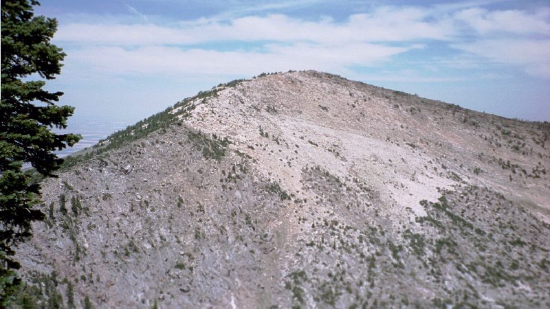
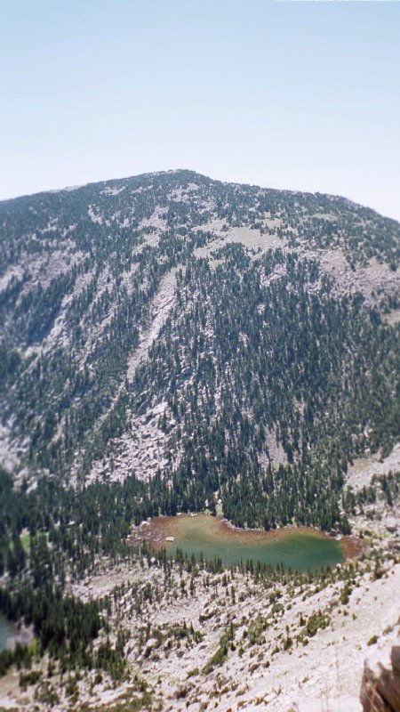
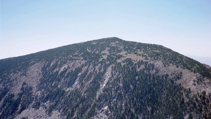
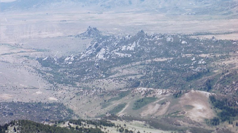
Cache Peak (10,339) and Mount Independence (9,950)


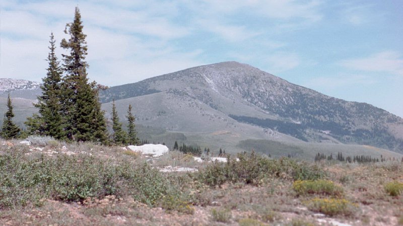
This is the view of Cache from the trailhead (south).

Trip Report (July 7, 2001):

Here is my trip report for a climb up Cache Peak and Mount Independence. Both Peaks are in the Albion Mountains of south-central Idaho. Cache Peak is the highest point in the range and in Cassia County. Cache is also the highest peak south of the Snake River in Idaho and the only 10,000 foot plus peak in that region. Both peaks are excellent goals and the combination of the two makes for a worthy trip.

Trip stats:
Time: 4.5 hours
Length: 6 miles
Elevation Gain: 2,500 feet
Class (difficulty): 2

Getting there: At the sign indicating the southern end of Idaho route 27, on the outskirts of Oakley and about 23 miles south of I-84, start your odometer. At 0.5 mile, turn left (E) in "downtown" Oakley on Main/2000 S. Go right at a fork 0.9 mile later, following the sign toward "City of Rocks". The pavement will end about 4- 1/4 miles later; keep going. At 13.3 miles from the end of route 27, you'll see a sign indicating "City of Rocks 2, Almo 9" - this is the Emery Canyon road. Turn left. At 14.6 miles cross a pair of cattle guards and a sign indicating City of Rocks National Reserve; just beyond turn left (a sign indicates "National Forest Access"). (This point would also be reachable via an eastern approach from Almo.) This road passes by several City of Rocks campsites before entering Sawtooth NF (sign, cattle guard) at 17.6 miles. Continue on the main road, crossing another cattle guard at 18.5; 0.6 miles further cross another and reach a junction (sign: "Information Center"). Keep left at the junction (the right fork goes to Graham Peak). At 19.6 miles pass the obscure junction to the left of the Fish Creek 4WD route (see note below); at 19.9 the signed road to Logger Springs forks off the route to the right. At 22.4 miles the road crosses another cattle guard and fence line, and turns sharply right. To this point it has been easy going for passenger sedans; beyond this point higher clearance may be necessary in spots. At 22.7 miles pass through a gate. At 24.4 reach the end of the road in a saddle. There are a pair of signs (~50 yards apart) to the Ranger Trail heading north and south out of this saddle. The old road shown on the topo continues up the ridge briefly, but it has been bermed.

Climb: The follow the jeep trail northeast as it climbs steadily toward point 9401. Near that point, a old gate is laying on the trail. Look for a trail heading north in this vicinity or a little west of there. Once you find the trail, follow it all of the way to the saddle between Mount Independence and Cache Peak. Once at the saddle, the view of the Independence Lakes are stunning. Head west to climb Mount Independence (500 feet, 45 minutes round trip) or east up Cache Peak (1000, 1.5 hours). The views from atop of each are spectacular.

Pictures: Click on the pictures below to see the full-size version.
Mount Independence from the saddle between it and Cache Peak.
The Independence lakes viewed from the saddle between Mount Independence and Cache Peak.
Cache Peak from the summit of Mount Independence.
Another view of Cache Peak from the summit of Mount Independence.
Looking down on the Castle Rocks, a popular area for rock climbers.
Looking at the patchwork of yellow and green fields... looking southwest towards Twin Falls.


Please send comments, suggestions, and questions to dan@idahosummits.com.
© 2001 All Rights Reserved RockyMountainSummits.com