Trip Report (1/25/2004):
Nothing special here, just a late Sunday excercise that led to Bonneville Point on accident. I was actually heading out to hike up Peak 4987, but the wind blown snow looked a bit avalanchy on that peak. I then thought about the Highland Valley area, but I've been there and done that so often.
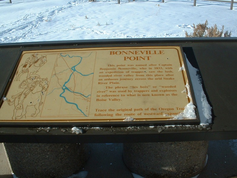
I then noticed the area across from Lucky Peak dam had some snow covered roads, so I drove across the damn and parked in Lydel Gulch. Just after the road was blocked off with trees and rocks, I took the fork heading right and up a steep ridge. This led to the a flat area where the Oregon Trail remnants are located. I noticed a small hill with a building on it and assumed it was Bonneville Point and made that my goal for the hike. Surprisingly, the views from the top were pretty good. See the photos below.
Trip stats:
Time: 2.5 hours
Length: 5 miles
Elevation Gain: 1000 feet
Class (difficulty): 1
Pictures: Click on the pictures below to see the full-size version.
Zach photo of Shaw Mountain from 2/24/2003.
My photos on 1/25/2004:
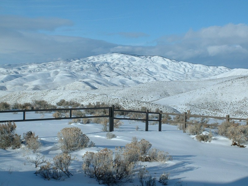
Shaw Mountain (Lucky Peak).
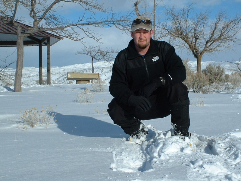
Me on top.
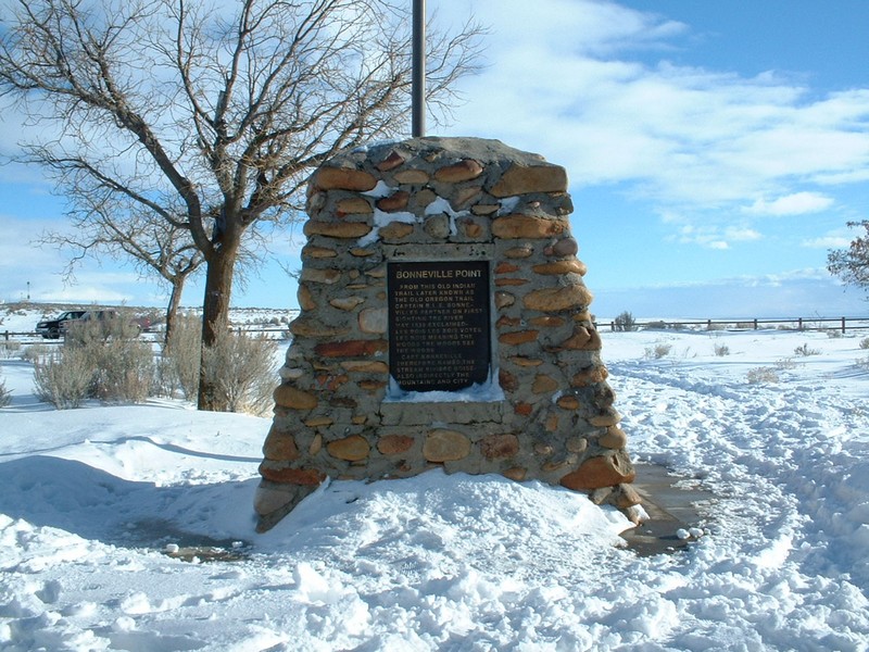
One of several displays on top.
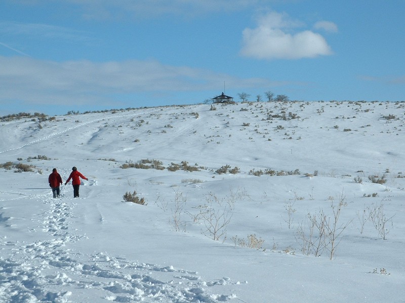
Bonneville Point from the west.
Marker on the point.
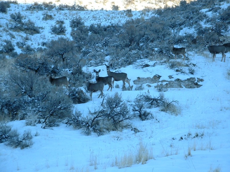
Deer in Lydle Gulch.
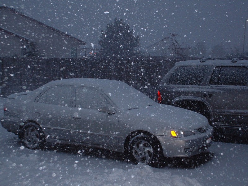
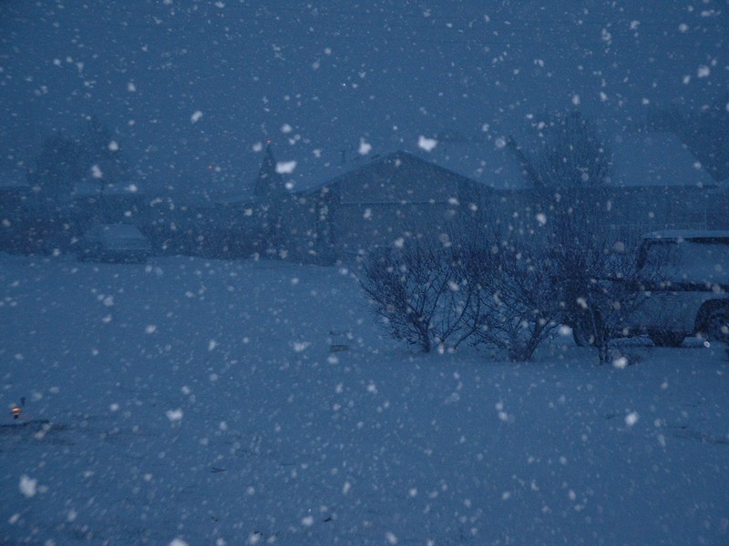
Here are some photos from the storm the night before... quite possibly the hardest I have ever seen it snow in Boise:
Our driveway (yes, we have a garage, but were cleaning that day).