RockyMountainSummits.com Home  |  My Peak List  |  Message Board  |  Contact Me  |  View the Guestbook  |  Sign the Guestbook


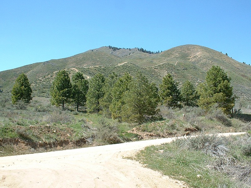
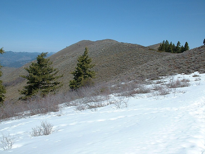
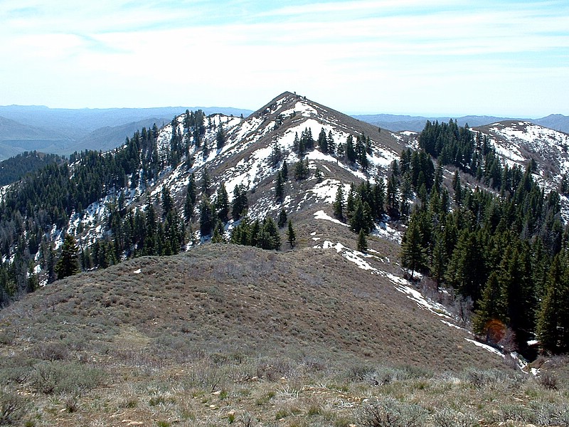
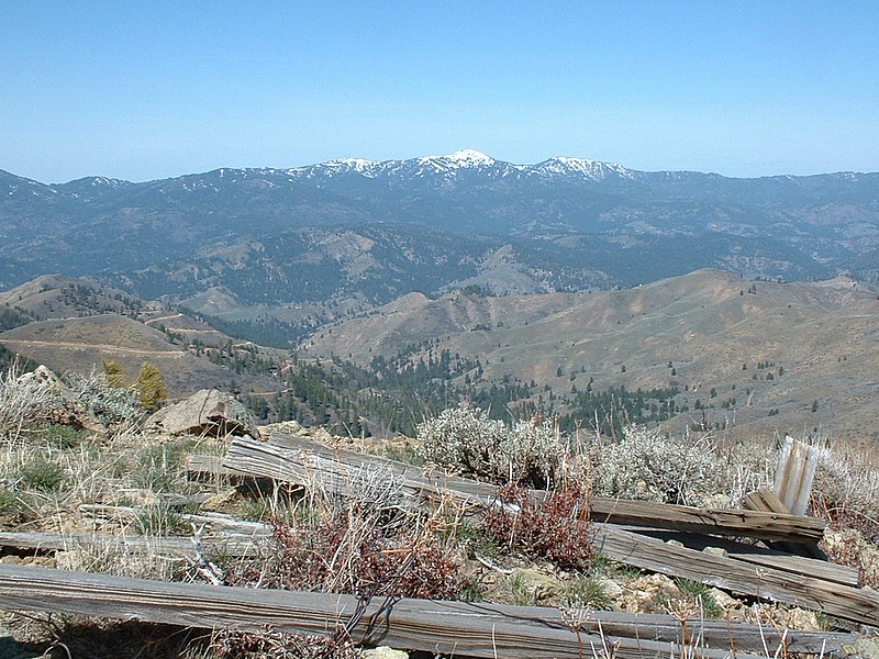
Mount Heinen - 6,336 feet


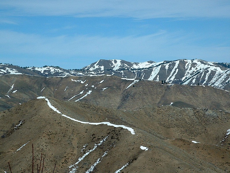
Mount Heinen from Cervidae Peak.

Trip Report:
This is a report for the "typical" route up Mount Heinen, there is an alternative route that starts near Arrowrock Dam.

Mount Heinen is one of the 4 grand slam peaks (along with Cervidae Peak, Shaw Mountain and Kepros Mountain). Of the 4 peaks, it is the toughest of the 4 peaks.

I've climbed Mount Heinen several times. At 10 miles and a 3500' gain, this hike is a excellent early-season workout. The views of the surrounding mountains and Arrowrock Reservoir are tremendous! Each time I have done the peak, I have seen elk and/or deer.

Notes from 2001:
I left the start of the route (an old jeep trail) on a sunny, warm morning. I wasn't sure if I should have brought snowshoes or not, but once I crested the ridge out of the valley around Arrowrock Reservoir I could see that I bet right and they were not needed. After a pretty strenous hike, I made it to the top of Heinen right as the clouds moved in. Another person was already on the summit and I waited while another group of hikers made their way up. At one point, there were about 8 people and 2 dogs on the summit, probably more than Heinen's had up their at once in years. On the way out, a little light rain and snow fell, but quickly dissapated. Other than getting hit by a deer (yeah, he "hit" me!) on the way home, it was an excellent day.

Heinen usually has a limited amount of snow from about April 15th on. On all 3 of my trips, I did not run into snow until after Point 6137, and then only a few snowy sections.

On the way to Heinen, expect to see plenty of deer, elk, and birds of prey.

Drive:
Turn off Idaho 21 just like you are going to Spring Shores on Lucky Peak. Continue on the road past Arrowrock Dam until just past the Irish Creek boat ramps. Look for a road on the right hand side a couple of hundred yards past those ramps, heading towards the reservoir. Park here. This parking area is about 7.5 miles from Arrowrock Dam.

Route:
From the parking area, you should see a jeep trail heading steeply up the slopes to the north. Follow this track. After heading north/northeast, the track comes to a nice looking meadow area with a great view of Arrowrock Reservoir. At that point, the route turns to the northwest and you eventually crest on a ridge. From the top of the ridge, you will head towards Point 6,137 on an old firebreak. Once at the base of 6,137 the trail fades out, but just keep to the west side of the peak and look for cairns marking a make-shift trail. From here, the trail is on-again, off-again as you just follow the ridge on open terrain. On top of Heinen you'll find a USGS benchmark, the remnants of a triangulation station, and a nice view of the Boise Mountains.

Trip stats:
Time: 8 hours in April 2001, 6.25 hours in April 2005
Length: 10 miles
Elevation Gain: 3500 feet (cumulative)
Class (difficulty): 2

Pictures: Click on the pictures below to see the full-size version.
The view from the trailhead. The route follows the dirt track seen.
The summit of Heinen from about 1/2 a mile away.
Looking back at the route, Point 6,137 is the high point on the ridge.
Looking toward Shafer Butte (Bogus Basin).
This is looking down the steep part of the hike.
The Boise Mountains from Point 5402.
 
Lady bugs swarming the summit cairn.


Please send comments, suggestions, and questions to dan@idahosummits.com.
© 2001 All Rights Reserved RockyMountainSummits.com